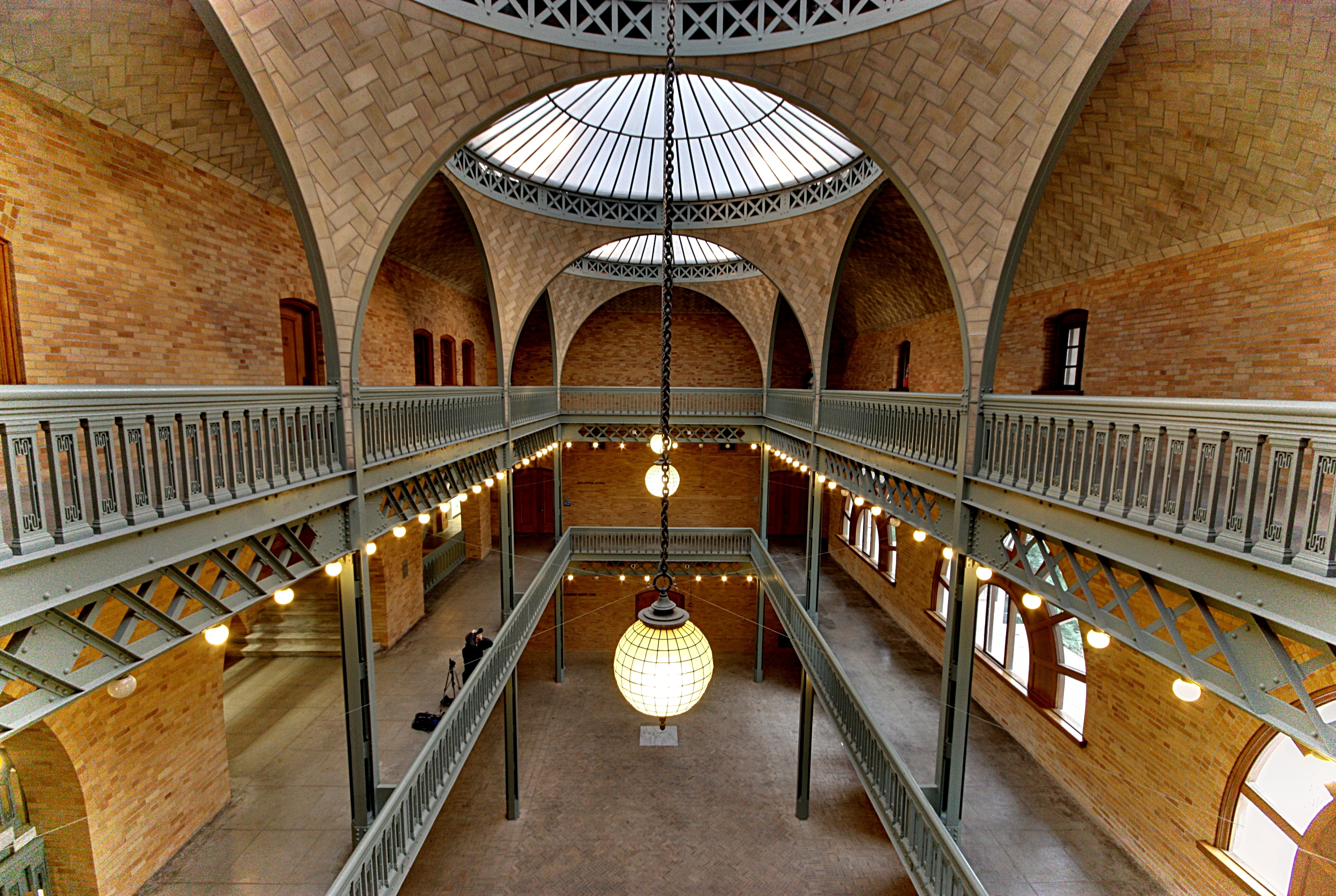
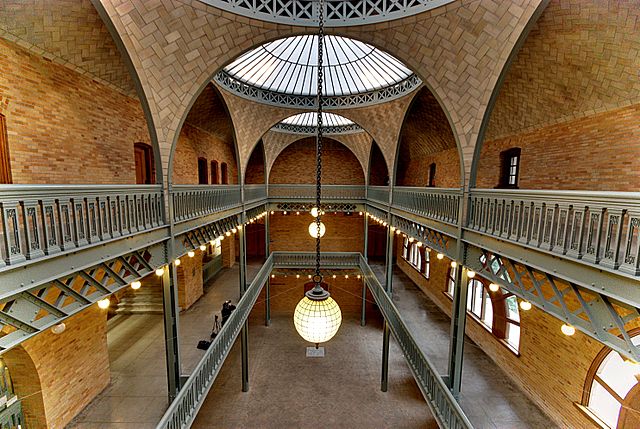
Hearst_Mining_Building_-_Flickr_-_Joe_Parks.jpg
Size of this preview:
800 × 536 pixels
.
Other resolutions:
320 × 215 pixels
|
640 × 429 pixels
|
1,024 × 687 pixels
|
1,280 × 858 pixels
|
2,966 × 1,989 pixels
.
Summary
| Description | Hearst Memorial Mining Building, University of California, Berkeley. Listed on the National Register of Historic Places, and designated as California Historical Landmark #946 (Alameda County). |
| Date | |
| Source | Hearst Mining Building |
| Author | Joe Parks from Berkeley, CA |
| Camera location |
|
View this and other nearby images on: OpenStreetMap |
|
|---|
Licensing
This file is licensed under the
Creative Commons
Attribution 2.0 Generic
license.
-
You are free:
- to share – to copy, distribute and transmit the work
- to remix – to adapt the work
-
Under the following conditions:
- attribution – You must give appropriate credit, provide a link to the license, and indicate if changes were made. You may do so in any reasonable manner, but not in any way that suggests the licensor endorses you or your use.
|
|
This image was originally posted to Flickr by Joe Parks at https://www.flickr.com/photos/34450190@N08/5289049781 . It was reviewed on 8 June 2013 by FlickreviewR and was confirmed to be licensed under the terms of the cc-by-2.0. |