Hintere_Schwaerze.jpg

Size of this preview:
800 × 532 pixels
.
Other resolutions:
320 × 213 pixels
|
640 × 426 pixels
|
1,024 × 681 pixels
|
1,280 × 851 pixels
.
Summary
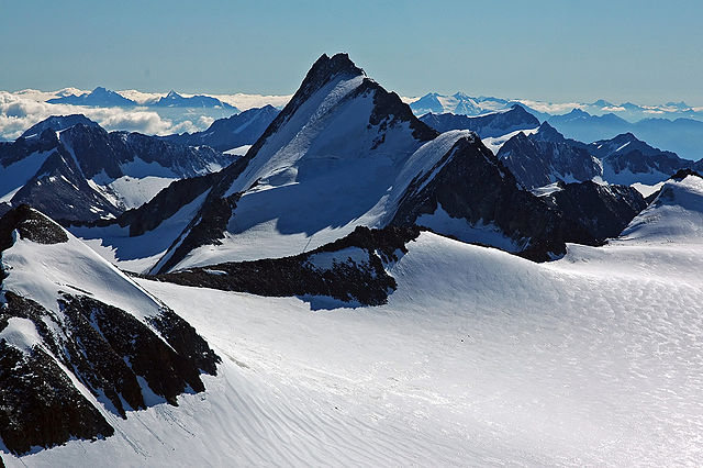
| Description | Hintere Schwärze (Ötztaler Alpen) |
| Date | |
| Source | photo taken by Kogo |
| Author | Kogo |
|
Permission
( Reusing this file ) |
GFDL |
| Camera location |
|
View this and other nearby images on: OpenStreetMap |
|
|---|
Licensing
I, the copyright holder of this work, hereby publish it under the following license:

|
Permission is granted to copy, distribute and/or modify this document under the terms of the GNU Free Documentation License , Version 1.2 or any later version published by the Free Software Foundation ; with no Invariant Sections, no Front-Cover Texts, and no Back-Cover Texts. A copy of the license is included in the section entitled GNU Free Documentation License . |
| Annotations | This image is annotated: View the annotations at Commons |