Hong_Kong_Island_Skyline_2009.jpg
Size of this preview:
800 × 450 pixels
.
Other resolutions:
320 × 180 pixels
|
640 × 360 pixels
|
1,024 × 576 pixels
|
1,280 × 720 pixels
|
2,256 × 1,269 pixels
.
Summary
|
以上作品由
Wpcpey
製作,並採用創作共用「CC-BY 3.0版本」授權方式保護。
任何人使用及轉載此圖片,前提是您遵守「許可」的所有條款。請尊重作者的勞動成果,謝謝您的諒解!您須在刊登位置的旁邊明確顯示本人,即「維基百科用戶-Wpcpey 或 Wikipedia user -Wpcpey」為圖片原作者。謝謝你們的合作!
若您需要索取此圖片的原本、或因為不能遵守「許可」而要求條款較寬鬆的使用條件,也請先向本人提出。 您可以在 本人對話頁 與我聯繫。 |
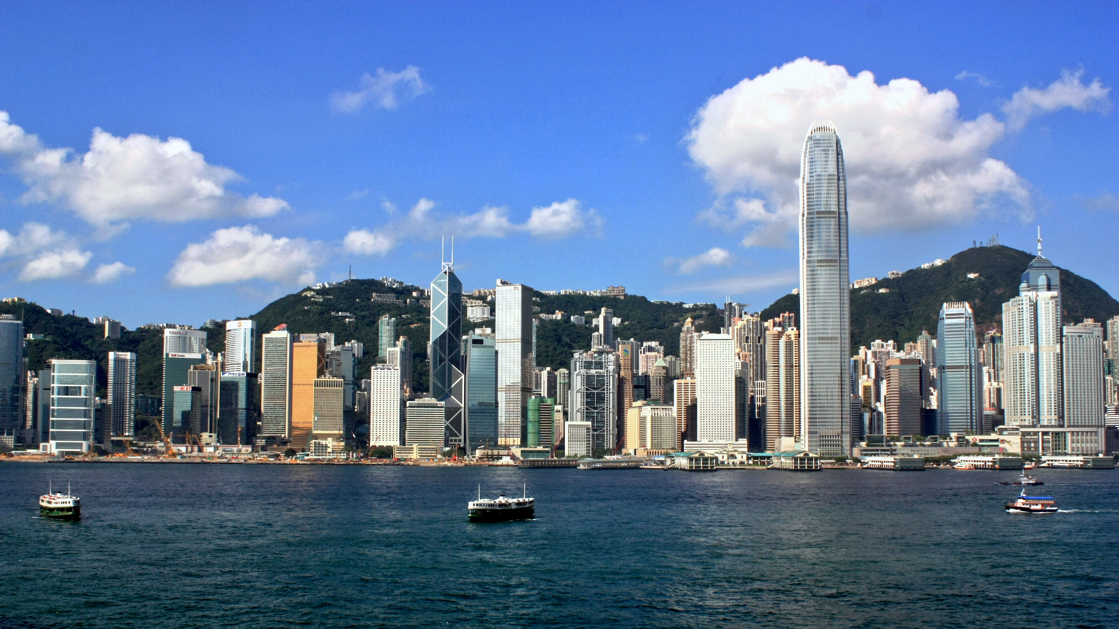
| Description | Skyline of Central District in Hong Kong, which viewed from Tsim Sha Tsui , on the opposite side of Victoria Harbour |
| Date | |
| Source | Own work |
| Author | WiNG |
| Camera location |
|
View this and other nearby images on: OpenStreetMap |
|
|---|
Licensing
I, the copyright holder of this work, hereby publish it under the following license:
This file is licensed under the
Creative Commons
Attribution-Share Alike 3.0 Unported
license.
-
You are free:
- to share – to copy, distribute and transmit the work
- to remix – to adapt the work
-
Under the following conditions:
- attribution – You must give appropriate credit, provide a link to the license, and indicate if changes were made. You may do so in any reasonable manner, but not in any way that suggests the licensor endorses you or your use.
- share alike – If you remix, transform, or build upon the material, you must distribute your contributions under the same or compatible license as the original.
|