Hong_Kong_Reclamation_Map.png

Size of this preview:
800 × 600 pixels
.
Other resolutions:
320 × 240 pixels
|
640 × 480 pixels
|
1,024 × 768 pixels
.
Summary
| Description |
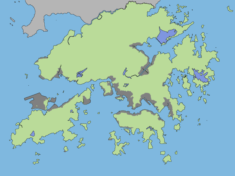
中文(香港):
香港自1842年來的填海狀況,灰色處為已有或待完成的填海地。
English:
The reclamation status of Hong Kong since 1842, the gray areas are the existing or pending reclamation.
|
| Date | |
| Source | Own work |
| Author | Timothy135 |
| Other versions | 原圖: File:Hong Kong Outline Map.png |
Licensing
I, the copyright holder of this work, hereby publish it under the following license:
This file is licensed under the
Creative Commons
Attribution-Share Alike 4.0 International
license.
-
You are free:
- to share – to copy, distribute and transmit the work
- to remix – to adapt the work
-
Under the following conditions:
- attribution – You must give appropriate credit, provide a link to the license, and indicate if changes were made. You may do so in any reasonable manner, but not in any way that suggests the licensor endorses you or your use.
- share alike – If you remix, transform, or build upon the material, you must distribute your contributions under the same or compatible license as the original.