Horseshoe_Falls_203.jpg
Size of this preview:
800 × 600 pixels
.
Other resolutions:
320 × 240 pixels
|
640 × 480 pixels
|
1,024 × 768 pixels
|
1,280 × 960 pixels
|
2,048 × 1,536 pixels
.
| Description |
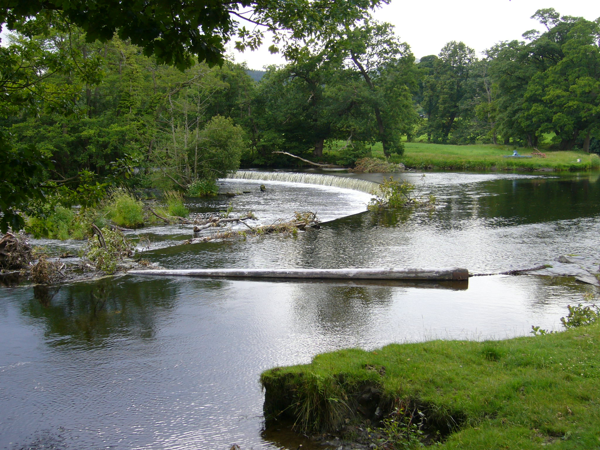
English:

The Horseshoe Falls at grid reference SJ 195 433 about three miles west of the town of Llangollen , Denbighshire , Wales . The feed to the Llangollen Canal is off the bottom left corner of this image. A floating tree trunk is secured by chains across the water to prevent debris from entering the canal. |
| Date | |
| Source | Own work |
| Author | RHaworth |
|

| Camera location |
|
View this and other nearby images on: OpenStreetMap |
|
|---|
| Object location |
|
View this and other nearby images on: OpenStreetMap |
|
|---|