Hungary_local_administration.png
Size of this preview:
800 × 512 pixels
.
Other resolutions:
320 × 205 pixels
|
640 × 410 pixels
|
1,024 × 656 pixels
|
1,280 × 819 pixels
|
1,601 × 1,025 pixels
.
Summary
| Description |
English:
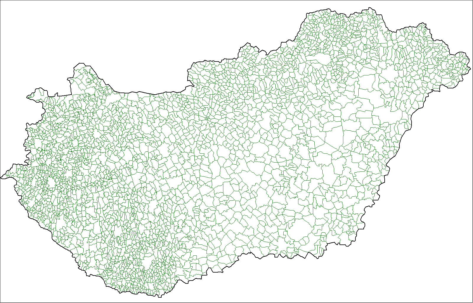
Map of the local administrative units of Hungary (városok, községek, and megyei jogú városok).
|
| Date | |
| Source | Own work , using MapInfo Professional v8.5 and various mapping resources. |
| Author | Rarelibra ( talk · contribs ) |
Licensing
|
|
This work has been released into the
public domain
by its author,
I,
Rarelibra
. This applies worldwide.
In some countries this may not be legally possible; if so: I, Rarelibra grants anyone the right to use this work for any purpose , without any conditions, unless such conditions are required by law. |