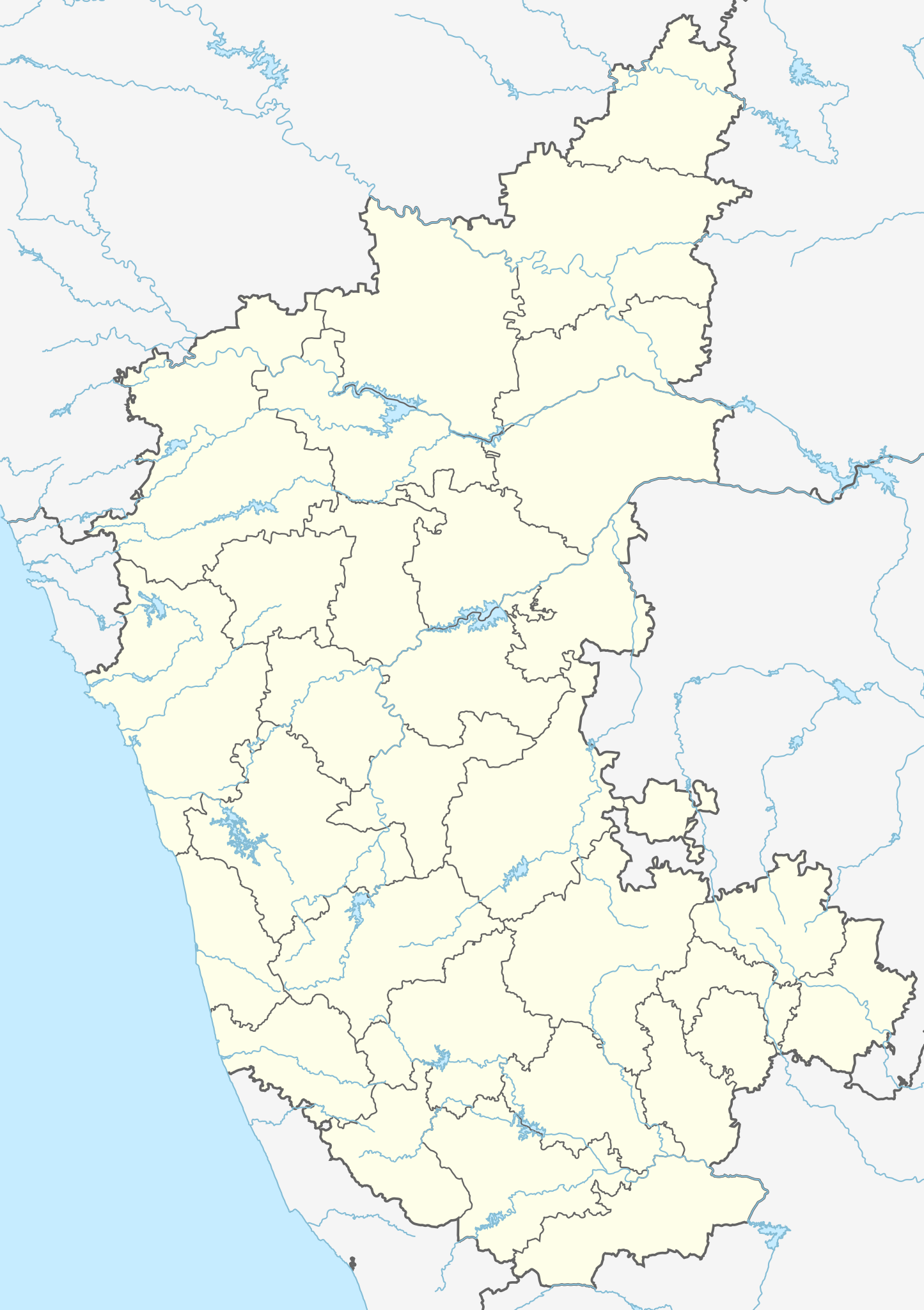
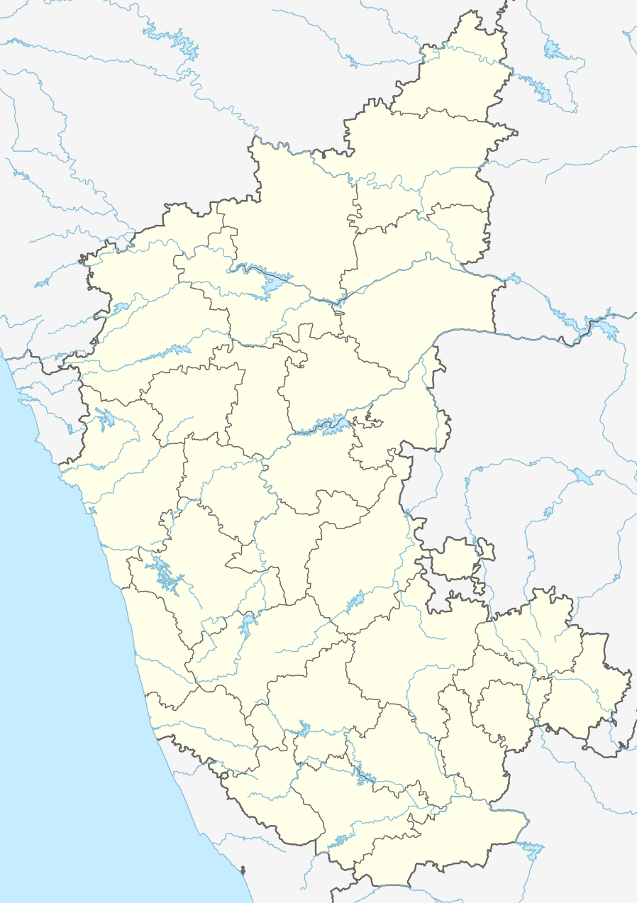
India_Karnataka_location_map.svg

Size of this PNG preview of this SVG file:
423 × 600 pixels
.
Other resolutions:
169 × 240 pixels
|
338 × 480 pixels
|
542 × 768 pixels
|
722 × 1,024 pixels
|
1,445 × 2,048 pixels
|
898 × 1,273 pixels
.
| Description |
Location map of Karnataka Geographic limits of the map:
|
| Date | (UTC) |
| Source | |
| Author |
|
| Other versions |
Derivative works of this file: |
|
|
This is a
retouched picture
, which means that it has been digitally altered from its original version. Modifications:
Created 3 new districts
Chikkaballapur
,
Ramanagara
and
Yadgir
. Changed conventions per
WP:WPMAP
. The original can be viewed here:
Karnataka locator map.svg
:
|
This file is licensed under the
Creative Commons
Attribution-Share Alike 3.0 Unported
license.
-
You are free:
- to share – to copy, distribute and transmit the work
- to remix – to adapt the work
-
Under the following conditions:
- attribution – You must give appropriate credit, provide a link to the license, and indicate if changes were made. You may do so in any reasonable manner, but not in any way that suggests the licensor endorses you or your use.
- share alike – If you remix, transform, or build upon the material, you must distribute your contributions under the same or compatible license as the original.
Original upload log
This image is a derivative work of the following images:
-
File:Karnataka_locator_map.svg
licensed with Cc-by-sa-3.0
- 2007-05-06T13:55:02Z Planemad 1630x2356 (231773 Bytes) {{WikiProject_India_Maps |Title=Karnataka locator Map |Description=Map of [[w:Karnataka]] with road and rail lines |Source= [http://aquarium.lipetsk.ru/discovery/India2004/karnataka-map.jpg Karnataka Map], [http://www.indianr
Uploaded with derivativeFX