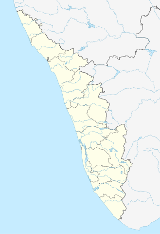
India_Kerala_location_map.svg

Size of this PNG preview of this SVG file:
411 × 599 pixels
.
Other resolutions:
164 × 240 pixels
|
329 × 480 pixels
|
527 × 768 pixels
|
702 × 1,024 pixels
|
1,405 × 2,048 pixels
|
874 × 1,274 pixels
.
Summary
| Description |
Quadratische Plattkarte, N-S-Streckung 102 %. Geographische Begrenzung der Karte:
Equirectangular projection, N/S stretching 102 %. Geographic limits of the map:
|
|
| Date | ||
| Source |
Own work , using
|
|
| Author | NordNordWest | |
|
Permission
( Reusing this file ) |
This file is licensed under the
Creative Commons
Attribution-Share Alike 3.0 Germany
license.

This file is licensed under the
Creative Commons
Attribution-Share Alike 3.0 Unported
license.
|


|
This map has been made or improved in the German
Kartenwerkstatt
(Map Lab)
. You can
propose maps
to improve as well.
|