Israel_Sea_Level_BW_1.JPG
Size of this preview:
800 × 536 pixels
.
Other resolutions:
320 × 214 pixels
|
640 × 428 pixels
|
1,024 × 685 pixels
|
1,280 × 857 pixels
|
2,560 × 1,714 pixels
|
3,872 × 2,592 pixels
.
Summary
| Camera location |
|
View this and other nearby images on: OpenStreetMap |
|
|---|
| Description |
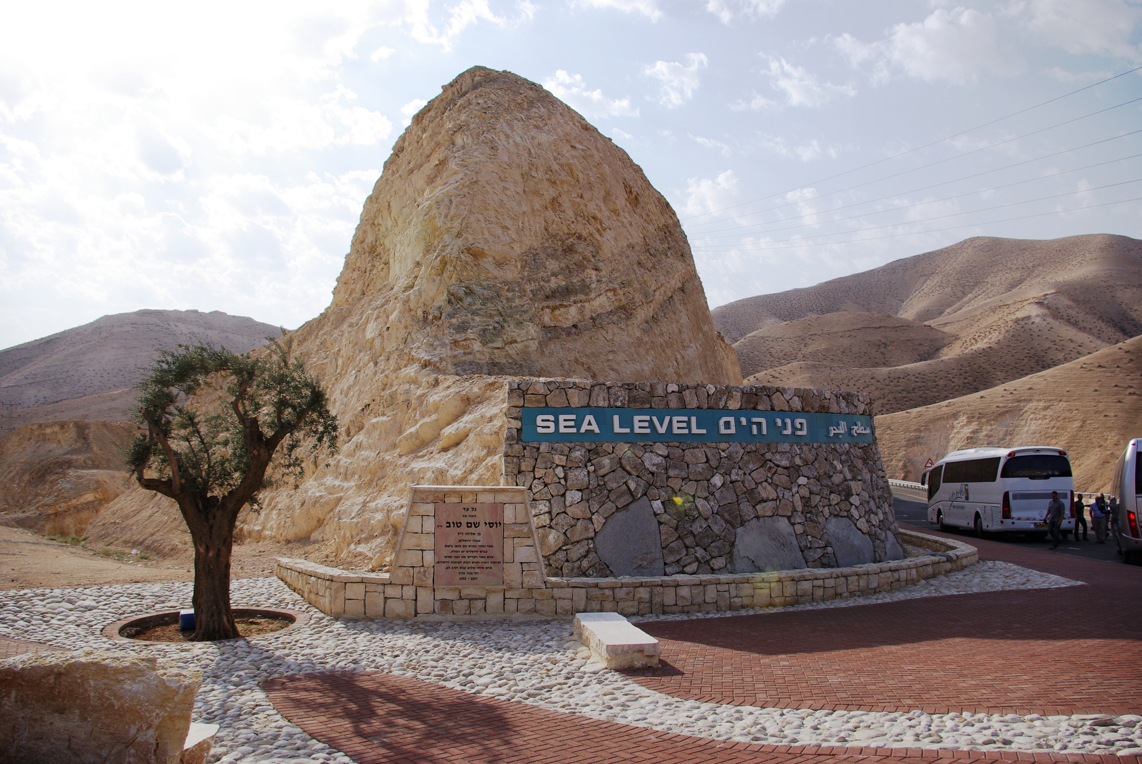
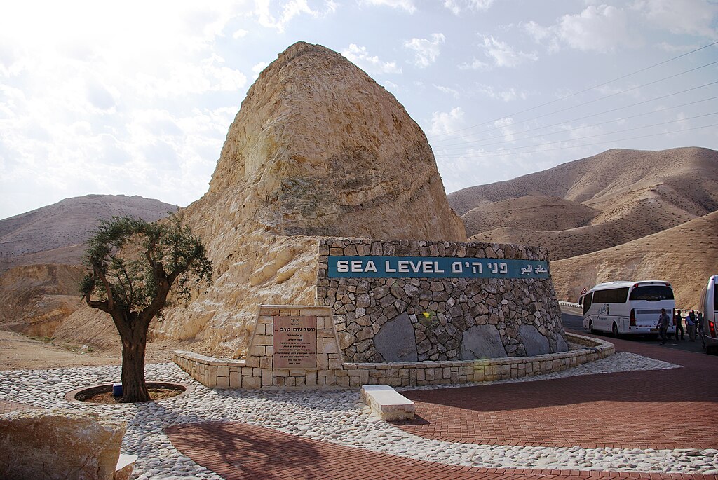
English:
West Bank. Sea Level marker on the side of the road from Jerusalem to the Dead Sea
Deutsch:
Westjordanland. Sea Level - Meereshöhe an der Straße von Jerusalem zum Toten Meer
|
| Date | |
| Source | Own work |
| Author | Berthold Werner |
Licensing
|
|
I, the copyright holder of this work, release this work into the
public domain
. This applies worldwide.
In some countries this may not be legally possible; if so: I grant anyone the right to use this work for any purpose , without any conditions, unless such conditions are required by law. |