Israel_Supreme_Court.jpg

Size of this preview:
800 × 525 pixels
.
Other resolutions:
320 × 210 pixels
|
640 × 420 pixels
|
1,024 × 672 pixels
|
1,280 × 840 pixels
|
2,560 × 1,680 pixels
|
4,217 × 2,767 pixels
.
Summary
| Description |
עברית:
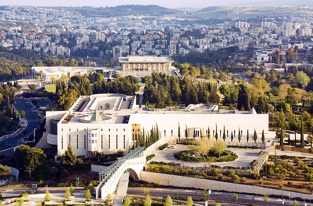
בית המשפט העליון
English:
Supreme Court of Israel
|
| Date | |
| Source | https://www.flickr.com/photos/visitisrael/6180275423 |
| Author | israeltourism |
| Camera location |
|
View this and other nearby images on: OpenStreetMap |
|
|---|
This
photograph
was taken with a
Canon EOS 450D
Licensing
|
|
This image, which was originally posted to Flickr , was uploaded to Commons using Flickr upload bot on 13 June 2013, 06:52 by Triggerhippie4 . On that date, it was confirmed to be licensed under the terms of the license indicated. |
This file is licensed under the
Creative Commons
Attribution 2.0 Generic
license.
-
You are free:
- to share – to copy, distribute and transmit the work
- to remix – to adapt the work
-
Under the following conditions:
- attribution – You must give appropriate credit, provide a link to the license, and indicate if changes were made. You may do so in any reasonable manner, but not in any way that suggests the licensor endorses you or your use.
| Annotations | This image is annotated: View the annotations at Commons |