Jackson_Glacier_terminus.jpg
Size of this preview:
800 × 540 pixels
.
Other resolutions:
320 × 216 pixels
|
640 × 432 pixels
|
900 × 608 pixels
.
Summary
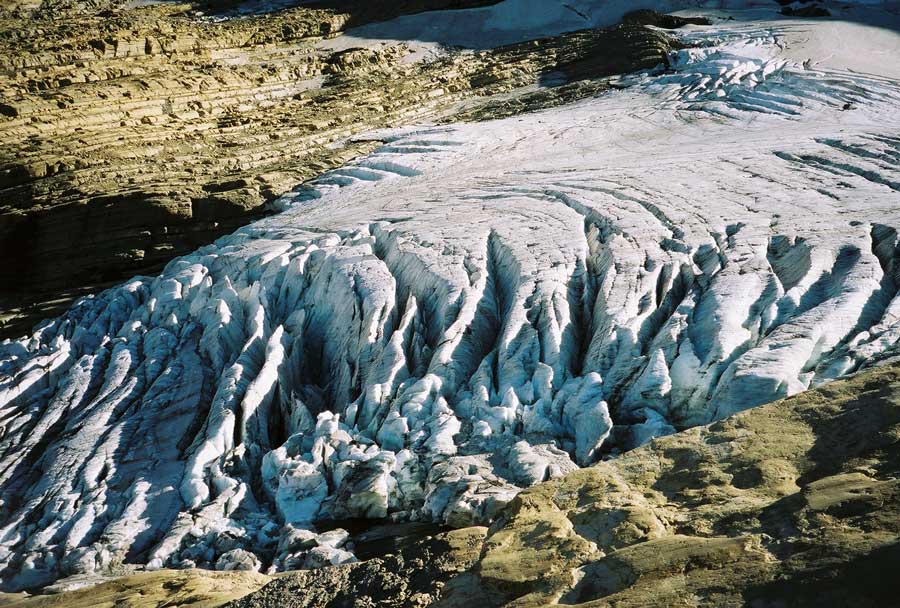
| Description | Image of the terminal end of Jackson Glacier in Glacier National Park (U.S.) |
| Source | United States Geological Survey...from the following link [1] , enlarged at [2] |
| Author | USGS |
![[2]](https://www.nrmsc.usgs.gov/images/gcc/Jackson_terminus.jpg)
| Camera location |
|
View this and other nearby images on: OpenStreetMap |
|
|---|
Licensing
|
|
This image is in the
public domain
in the United States because it only contains materials that originally came from the
United States Geological Survey
, an agency of the
United States Department of the Interior
. For more information, see
the official USGS copyright policy
.
|
|