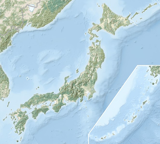
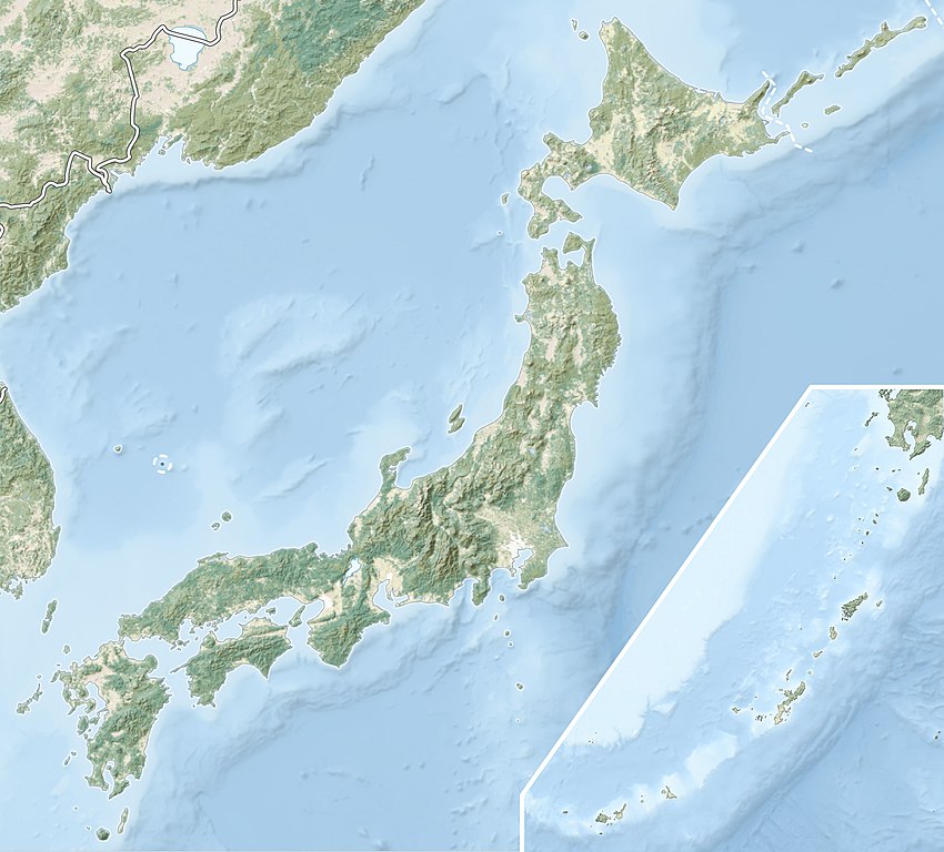
Japan_natural_location_map_with_side_map_of_the_Ryukyu_Islands.jpg


Summary

Description
English: Natural Location map of Japan

Equirectangular projection.

Geographic limits to locate objects in the main map with the main islands:

  • N: 45°51'37" N (45.86°N)
  • S: 30°01'13" N (30.02°N)
  • W: 128°14'24" E (128.24°E)
  • E: 149°16'13" E (149.27°E)

Geographic limits to locate objects in the side map with the Ryukyu Islands:

  • N: 39°32'25" N (39.54°N)
  • S: 23°42'36" N (23.71°N)
  • W: 110°25'49" E (110.43°E)
  • E: 131°26'25" E (131.44°E)
Date
Source
Author Alexrk2
Permission
( Reusing this file )
w:en:Creative Commons
attribution share alike
This file is licensed under the Creative Commons Attribution-Share Alike 3.0 Unported license.
You are free:
  • to share – to copy, distribute and transmit the work
  • to remix – to adapt the work
Under the following conditions:
  • attribution – You must give appropriate credit, provide a link to the license, and indicate if changes were made. You may do so in any reasonable manner, but not in any way that suggests the licensor endorses you or your use.
  • share alike – If you remix, transform, or build upon the material, you must distribute your contributions under the same or compatible license as the original.
Other versions


Kartenwerkstatt
This map has been made or improved in the German Kartenwerkstatt (Map Lab) . You can propose maps to improve as well.

Captions

1933 Sanriku earthquake

Items portrayed in this file

depicts

March 2011

image/jpeg