Jharkhand_locator_map.svg

Size of this PNG preview of this SVG file:
505 × 599 pixels
.
Other resolutions:
202 × 240 pixels
|
404 × 480 pixels
|
647 × 768 pixels
|
863 × 1,024 pixels
|
1,726 × 2,048 pixels
|
1,614 × 1,915 pixels
.
| Title |
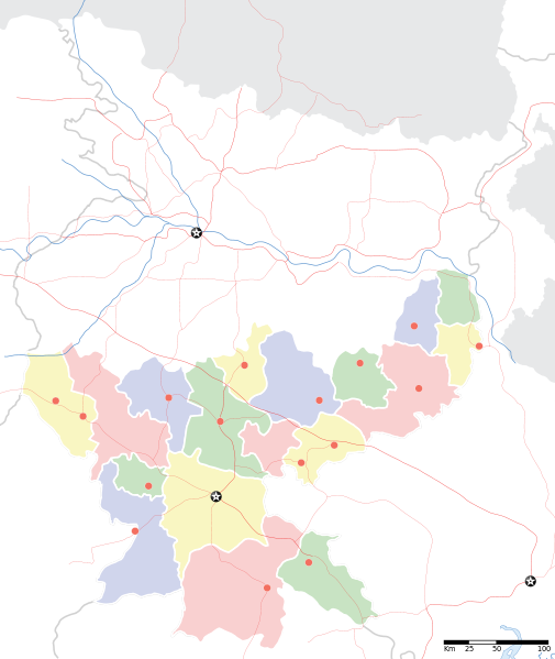
Jharkhand locator map
|
||
| Description |
Locator map for the Indian state of
w:Jharkhand
. Equirectangular projection. Geographic limits of the map: top=27.561, bottom=21.92, left=83.25, right=88.52.
|
||
| Date | |||
| Source |
Own work
|
||
| Creator |
|
||
|
Permission
( Reusing this file ) |
I, the copyright holder of this work, hereby publish it under the following license:
This file is licensed under the
Creative Commons
Attribution-Share Alike 3.0 Unported
license.
|
||
| Geotemporal data | |||
| Date depicted | second half of 20 th century and 21 st century | ||
| Georeferencing | If inappropriate please set warp_status = skip to hide. | ||
| Archival data | |||
| Notes | Part of WikiProject India Maps | ||