Kannur_Skyline_3.jpg

Size of this preview:
800 × 531 pixels
.
Other resolutions:
320 × 213 pixels
|
640 × 425 pixels
|
1,024 × 680 pixels
|
1,280 × 850 pixels
|
1,599 × 1,062 pixels
.
Summary
| Description |
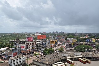
English:
Kannur Skyline
|
| Date | (UTC) |
| Source | Own work ( Original text: I ( Kidu ( talk )) created this work entirely by myself. ) |
| Author | Kidu ( talk ) |
| Camera location |
|
View this and other nearby images on: OpenStreetMap |
|
|---|
Licensing
|
|
This work has been released into the
public domain
by its author,
Kidu
at
English Wikipedia
. This applies worldwide.
In some countries this may not be legally possible; if so: Kidu grants anyone the right to use this work for any purpose , without any conditions, unless such conditions are required by law. |
Original upload log
Transferred from en.wikipedia to Commons by BishkekRocks using CommonsHelper .
The original description page was
here
. All following user names refer to en.wikipedia.
- 2009-10-31 18:40 Kidu 1599×1062× (656161 bytes) {{Information |Description = Kannur Skyline |Source = I (~~~) created this work entirely by myself. |Date = ~~~~~ |Author = ~~~ |other_versions = }}