Kartenn_Galianed.jpg

Size of this preview:
800 × 526 pixels
.
Other resolutions:
320 × 211 pixels
|
640 × 421 pixels
|
854 × 562 pixels
.
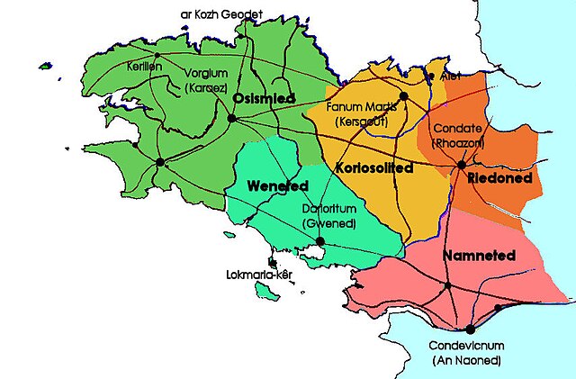
Summary
Brezhoneg:
Kartenn ar c'halianed e Breizh
Català:
Mapa dels pobles bretons
|
|
This work has been released into the
public domain
by its author,
Paotr (Kaozeal
. This applies worldwide.
In some countries this may not be legally possible; if so:
|
— Walden69 20:13, 23 March 2006 (UTC)
Licensing

|
Permission is granted to copy, distribute and/or modify this document under the terms of the GNU Free Documentation License , Version 1.2 or any later version published by the Free Software Foundation ; with no Invariant Sections, no Front-Cover Texts, and no Back-Cover Texts. A copy of the license is included in the section entitled GNU Free Documentation License . |
|
|
This file is licensed under the Creative Commons Attribution-Share Alike 3.0 Unported license. | |
|
||
| This licensing tag was added to this file as part of the GFDL licensing update . |