Kleinmaischeid_Zirkelschlag.jpg

Size of this preview:
800 × 513 pixels
.
Other resolutions:
320 × 205 pixels
|
640 × 410 pixels
|
1,024 × 656 pixels
|
1,280 × 821 pixels
|
2,452 × 1,572 pixels
.
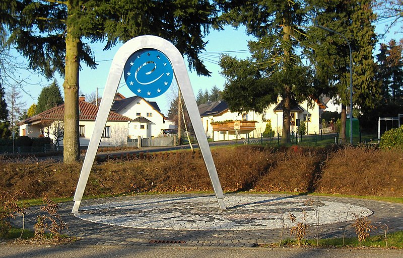
| Description |
Deutsch:
Denkmal
Zirkelschlag
in
Kleinmaischeid
, stellte den
geografischen Mittelpunkt der Europäischen Union
vom 1. Mai 2004 bis zum 31. Dezember 2006 dar.
English:
Memorial
Zirkelschlag
in
Kleinmaischeid
, represents the
geographical center of the European Union
from Mai 1, 2004 until December 31, 2006.
|
||
| Date | |||
| Source | Own work | ||
| Author | Leit | ||
|
Permission
( Reusing this file ) |
|
| Camera location |
|
View this and other nearby images on: OpenStreetMap |
|
|---|