Kvarner_gulf_map.png
No higher resolution available.
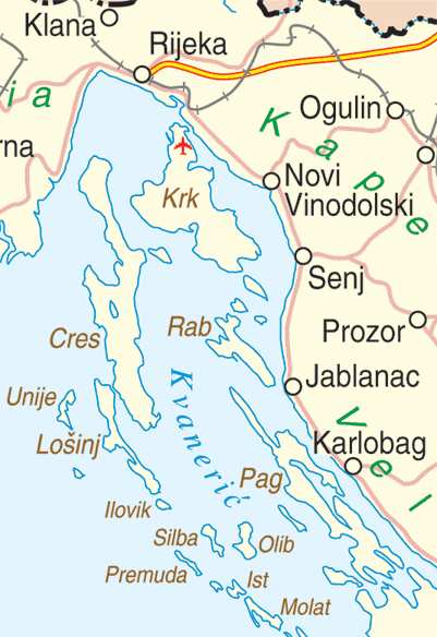
| Description |
English:
Map of the Kvarner Gulf, Croatia
|
|||
| Date | ||||
| Source | http://www.un.org/Depts/Cartographic/map/profile/croatia.pdf | |||
| Author | Department of Peacekeeping Operations Cartographic Section | |||
|
Permission
( Reusing this file ) |
|
