Laos_ricefields.JPG

Size of this preview:
800 × 600 pixels
.
Other resolutions:
320 × 240 pixels
|
640 × 480 pixels
|
1,024 × 768 pixels
|
1,280 × 960 pixels
|
2,560 × 1,920 pixels
|
3,264 × 2,448 pixels
.
| Camera location |
|
View this and other nearby images on: OpenStreetMap |
|
|---|
Summary
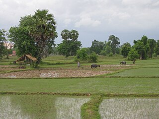
| Description | Ricefield on Don Det, Laos |
| Date | 5 June 2009 |
| Source | Photo taken by author |
| Author | Gorgo |
|
Permission
( Reusing this file ) |
Released in Wikimedia Commons under PD by author. |
Licensing
If you use this image outside of projects of the Wikimedia Foundation attribution to Wikimedia Commons or another project of the Wikimedia Foundation is appreciated.
|
|
I, the copyright holder of this work, release this work into the
public domain
. This applies worldwide.
In some countries this may not be legally possible; if so: I grant anyone the right to use this work for any purpose , without any conditions, unless such conditions are required by law. |