Libya_relief_location_map.jpg

Size of this preview:
625 × 599 pixels
.
Other resolutions:
250 × 240 pixels
|
500 × 480 pixels
|
801 × 768 pixels
|
1,068 × 1,024 pixels
|
1,617 × 1,551 pixels
.
| Description |
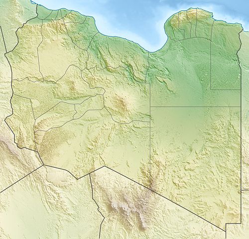
Deutsch:
Physische Positionskarte von
Libyen
Quadratische Plattkarte, N-S-Streckung 110 %. Geographische Begrenzung der Karte:
Equirectangular projection, N/S stretching 110 %. Geographic limits of the map:
|
| Date | |
| Source | Own work , using map data from administrative map by NordNordWest. The relief was created from SRTM-30 relief data |
| Author | Carport |
|
Permission
( Reusing this file ) |
This file is licensed under the
Creative Commons
Attribution-Share Alike 3.0 Unported
license.
|
| Other versions |
|

. قرامطة زوامل