Liverpool_Bay.png

Size of this preview:
800 × 593 pixels
.
Other resolutions:
320 × 237 pixels
|
640 × 474 pixels
|
1,024 × 759 pixels
|
1,278 × 947 pixels
.
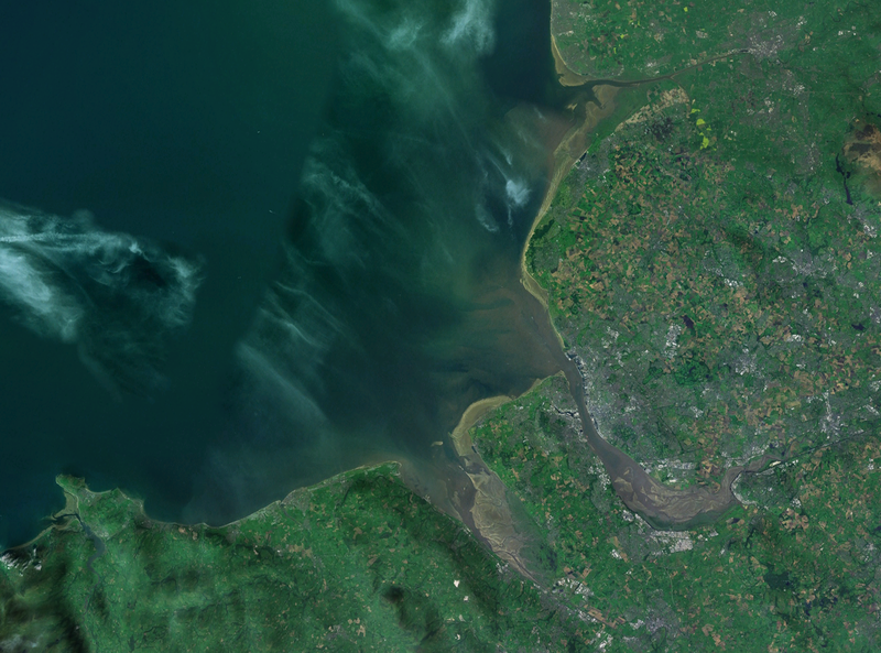
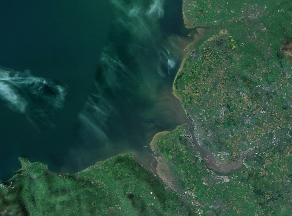
| Description | A satellite photograph of Liverpool Bay , showing the West Lancashire Coastal Plain River Ribble at the top (north), the River Alt (hardly visble), River Mersey (centre) River Dee and the River Conwy in the south west. |
| Date | |
| Source | NASA World Wind - Landsat 7 |
| Author | Smurrayinchester |
|
|
This image is in the
public domain
because it is a screenshot from
NASA
’s globe software
World Wind
using a public domain layer, such as Blue Marble, MODIS, Landsat, SRTM, USGS or GLOBE.
|

|
| Camera location |
|
View this and other nearby images on: OpenStreetMap |
|
|---|
