LocationCape_Colonyca1890.svg

Size of this PNG preview of this SVG file:
800 × 400 pixels
.
Other resolutions:
320 × 160 pixels
|
640 × 320 pixels
|
1,024 × 512 pixels
|
1,280 × 640 pixels
|
2,560 × 1,280 pixels
|
1,000 × 500 pixels
.
Summary
| Description |
English:
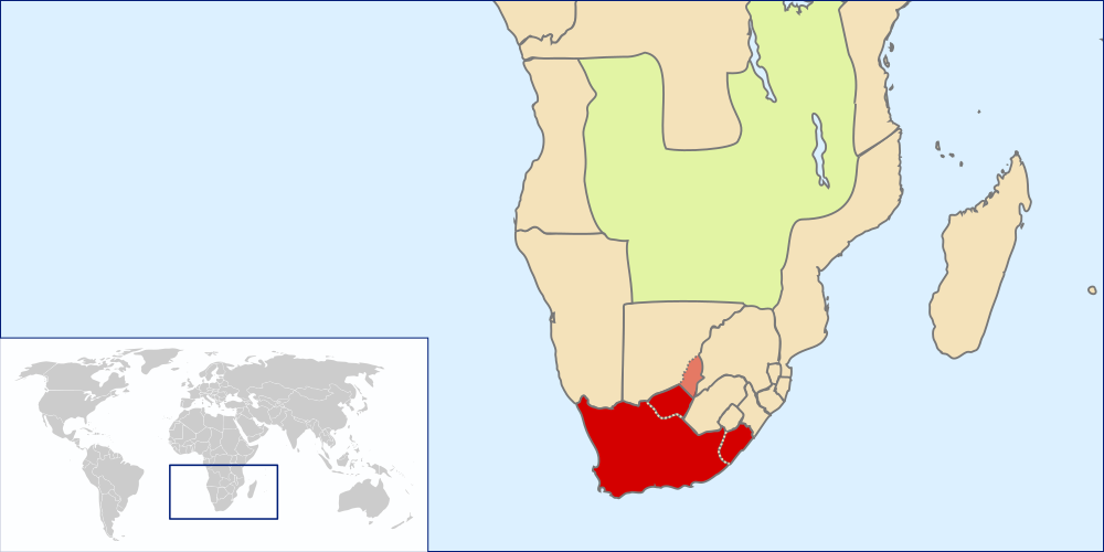
Location of the British Cape Colony, ca.1890, with Griqualand West and Griqualand East (officially known as New Griqualand) alredy annected, and Stellaland and Goshen (i.e. former United States of Stellaland) claimed
|
| Source | Own work by uploader based on File:LocationSouthAfrica.svg and File:SouthAfrica1885.jpg |
| Author | Seb az86556 |
Licensing
I, the copyright holder of this work, hereby publish it under the following license:
This file is licensed under the
Creative Commons
Attribution 3.0 Unported
license.
-
You are free:
- to share – to copy, distribute and transmit the work
- to remix – to adapt the work
-
Under the following conditions:
- attribution – You must give appropriate credit, provide a link to the license, and indicate if changes were made. You may do so in any reasonable manner, but not in any way that suggests the licensor endorses you or your use.
| Annotations | This image is annotated: View the annotations at Commons |