Location_map_Los_Angeles.png

Size of this preview:
625 × 600 pixels
.
Other resolutions:
250 × 240 pixels
|
500 × 480 pixels
|
795 × 763 pixels
.
| Description |
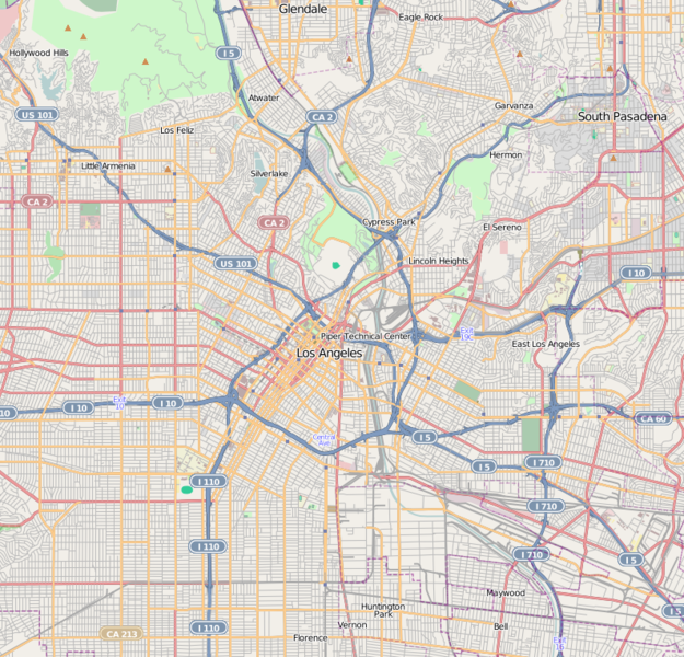
This map of Downtown Los Angeles and immediate area was created from
OpenStreetMap
project data, collected by the community.
This map may be incomplete, and may contain errors. Don't rely solely on it for navigation.
|
|||||||||
| Date | (see file history) | |||||||||
| Source | openstreetmap.org | |||||||||
| Creator |
OpenStreetMap contributors
|
|||||||||
|
Permission
( Reusing this file ) |
OpenStreetMap data and maps are licensed under the
Creative Commons
Attribution-ShareAlike 2.0 license (CC-BY-SA 2.0).
This file is licensed under the
Creative Commons
Attribution-Share Alike 2.0 Generic
license.
|
|||||||||
| Geotemporal data | ||||||||||
| Bounding box |
|
|||||||||
| Georeferencing | If inappropriate please set warp_status = skip to hide. | |||||||||
| Annotations | This image is annotated: View the annotations at Commons |