Location_map_of_Essex_County,_New_Jersey.svg

Size of this PNG preview of this SVG file:
700 × 600 pixels
.
Other resolutions:
280 × 240 pixels
|
560 × 480 pixels
|
896 × 768 pixels
|
1,195 × 1,024 pixels
|
2,389 × 2,048 pixels
.
Summary
| Description |
English:
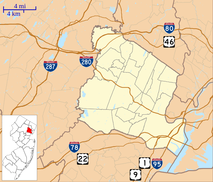
This is a map of
Essex County, New Jersey
, USA which includes incorporated settlements, township borders, and major highways.
|
| Date | |
| Source | My own work, using custom-written MapScript applications with United States Census Bureau data |
| Author | Omnedon |
Licensing
|
|
I, the copyright holder of this work, release this work into the
public domain
. This applies worldwide.
In some countries this may not be legally possible; if so: I grant anyone the right to use this work for any purpose , without any conditions, unless such conditions are required by law. |