Lunt_fort_baginton.JPG
Size of this preview:
800 × 600 pixels
.
Other resolutions:
320 × 240 pixels
|
640 × 480 pixels
|
1,024 × 768 pixels
|
1,280 × 960 pixels
|
2,592 × 1,944 pixels
.
Summary
| Description |
English:
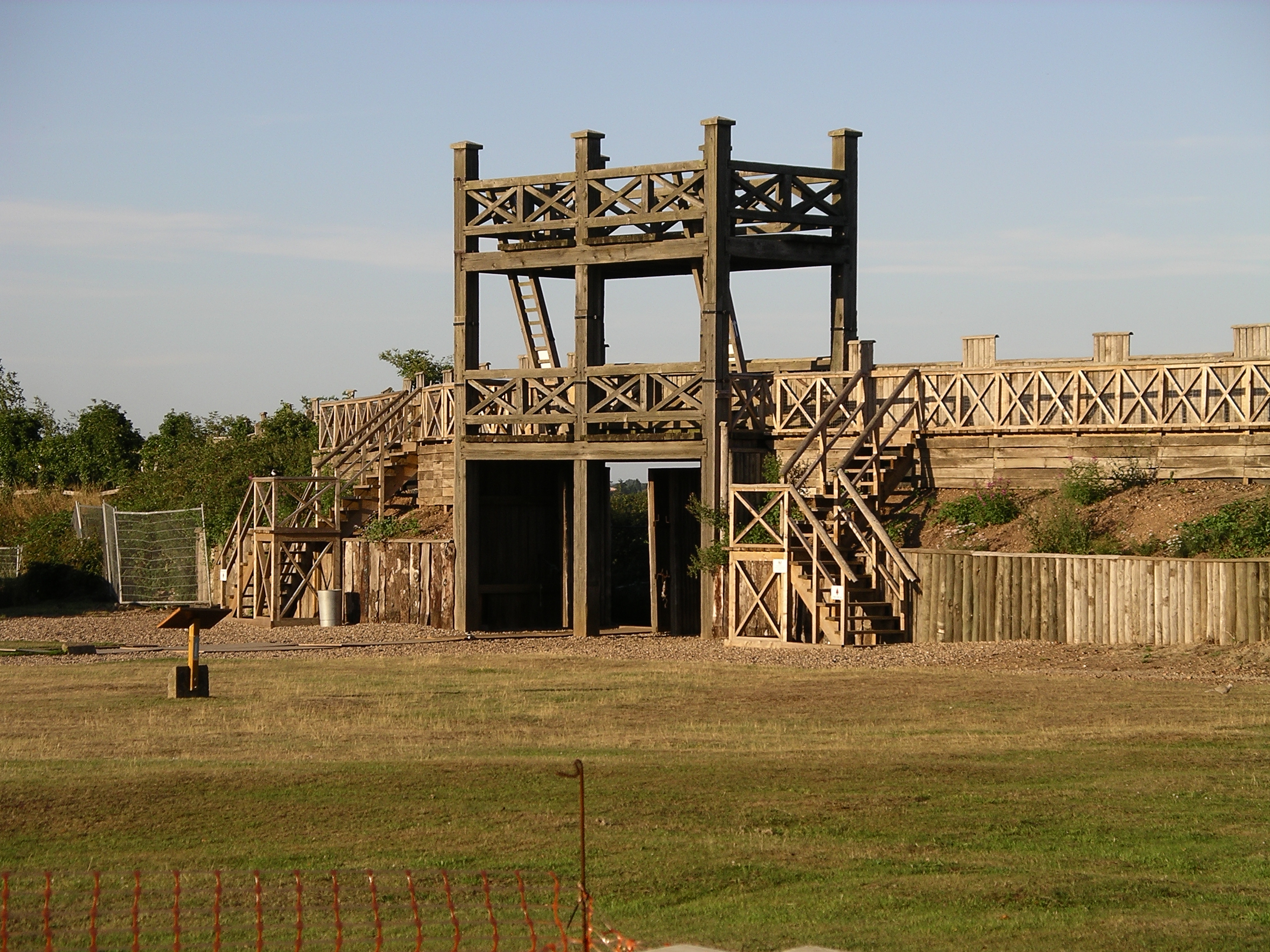
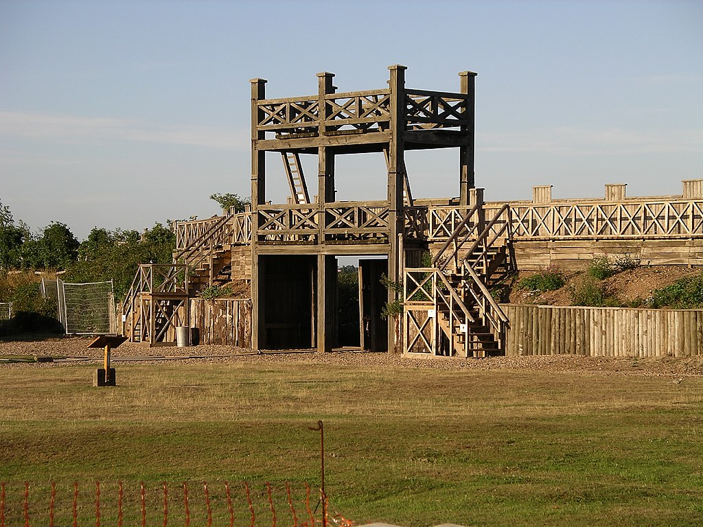
Photo taken by me of the reconstructed main gate - photo taken from the nearby road. Shows the aspect of the gate facing onto the Roman compound.
|
| Date |
(original upload date)
|
| Source |
Transferred from
en.wikipedia
|
| Author |
Original uploader was
Snowmanradio
at
en.wikipedia
|
|
Permission
( Reusing this file ) |
Released under the
GNU Free Documentation License
.
|
| Camera location |
|
View this and other nearby images on: OpenStreetMap |
|
|---|
Licensing

|
Permission is granted to copy, distribute and/or modify this document under the terms of the GNU Free Documentation License , Version 1.2 or any later version published by the Free Software Foundation ; with no Invariant Sections, no Front-Cover Texts, and no Back-Cover Texts. A copy of the license is included in the section entitled GNU Free Documentation License . |
|
|
This file is licensed under the Creative Commons Attribution-Share Alike 3.0 Unported license. | |
|
||
| This licensing tag was added to this file as part of the GFDL licensing update . |
Original upload log
The original description page was
here
. All following user names refer to en.wikipedia.
- 2006-07-20 15:25 Snowmanradio 2592×1944×8 (3118850 bytes) Phote taken by me of the reconstructed main gait - photo taken from the nearby road. Shows the aspect of the gait facing onto the Roman compound.