MI_-_Rathaus.jpg
Size of this preview:
721 × 600 pixels
.
Other resolutions:
289 × 240 pixels
|
577 × 480 pixels
|
923 × 768 pixels
|
1,029 × 856 pixels
.
Summary
| Camera location |
|
View this and other nearby images on: OpenStreetMap |
|
|---|
| Description |
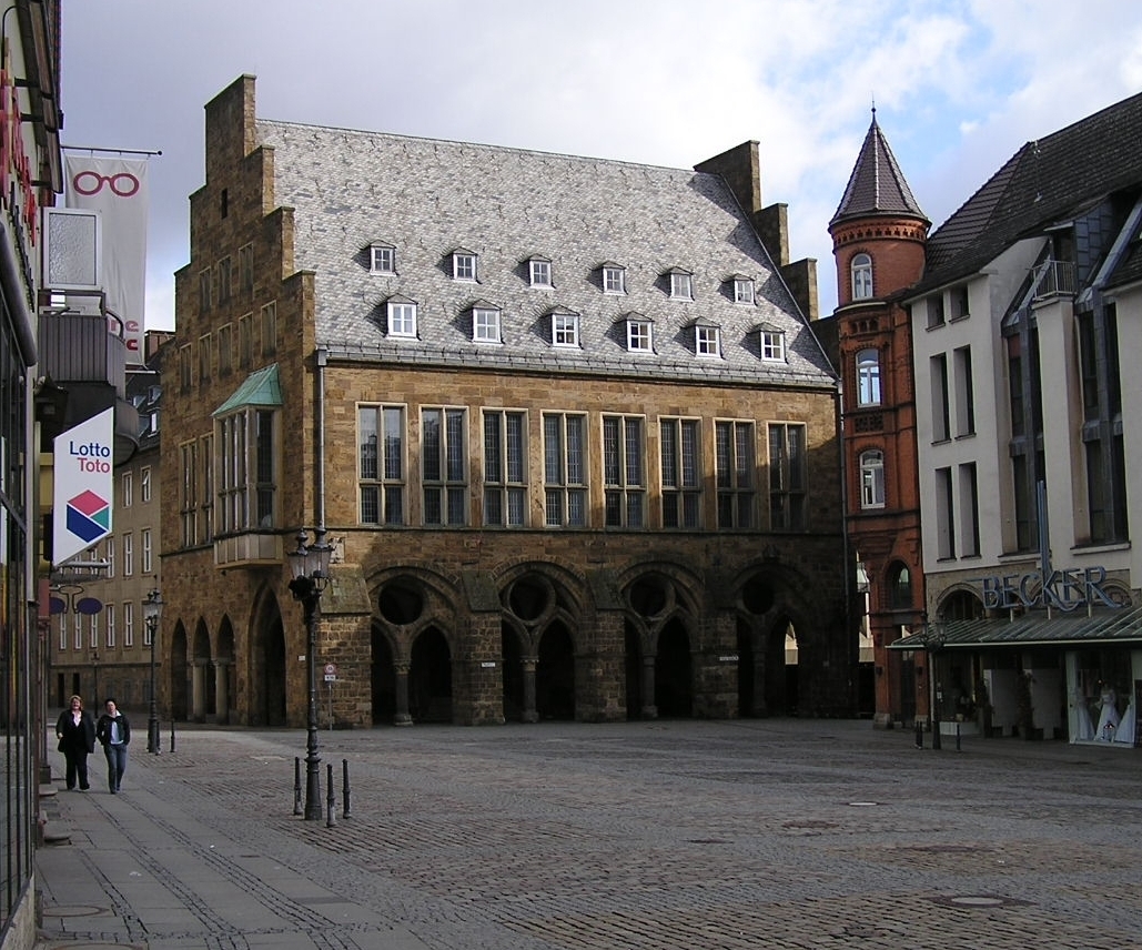
Deutsch:
Das historische
Rathaus
von
Minden
,
Nordrhein-Westfalen
. Das Rathaus wurde nach schweren Zerstörungen im Zweiten Weltkrieg weitgehend neu errichtet. Der Laubengang stammt aus dem 13. Jahrhundert. Verantwortlich für den Wiederaufbau war
Werner March
.
English:
La historia urbodomo de
Minden
Esperanto:
La historia urbodomo de
Minden
|
| Date | |
| Source | Own work |
| Author | Aeggy |
|
Permission
( Reusing this file ) |
,
English:
Please report references to
[email protected]
.
Deutsch:
Quellenangabe und Beleg an
[email protected]
. erbeten.
|
I, the copyright holder of this work, hereby publish it under the following license:
This file is licensed under the
Creative Commons
Attribution-Share Alike 2.5 Generic
license.
-
You are free:
- to share – to copy, distribute and transmit the work
- to remix – to adapt the work
-
Under the following conditions:
- attribution – You must give appropriate credit, provide a link to the license, and indicate if changes were made. You may do so in any reasonable manner, but not in any way that suggests the licensor endorses you or your use.
- share alike – If you remix, transform, or build upon the material, you must distribute your contributions under the same or compatible license as the original.