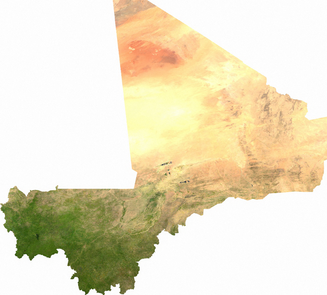
Mali_sat.png

Size of this preview:
665 × 599 pixels
.
Other resolutions:
266 × 240 pixels
|
533 × 480 pixels
|
852 × 768 pixels
|
1,137 × 1,024 pixels
|
1,979 × 1,783 pixels
.
ECW to TIFF to PNG (compression level 9).
|
|
This file is in the
public domain
, because it was generated by a user, using free sources available at
The Map Library
.
Note that this does not include the maps in the Global Administrative Areas section of the homepage. |