Malusi_hülged_02.jpg

Size of this preview:
800 × 534 pixels
.
Other resolutions:
320 × 214 pixels
|
640 × 427 pixels
|
1,024 × 683 pixels
|
1,280 × 854 pixels
|
2,560 × 1,708 pixels
|
4,220 × 2,816 pixels
.
Summary
| Description |
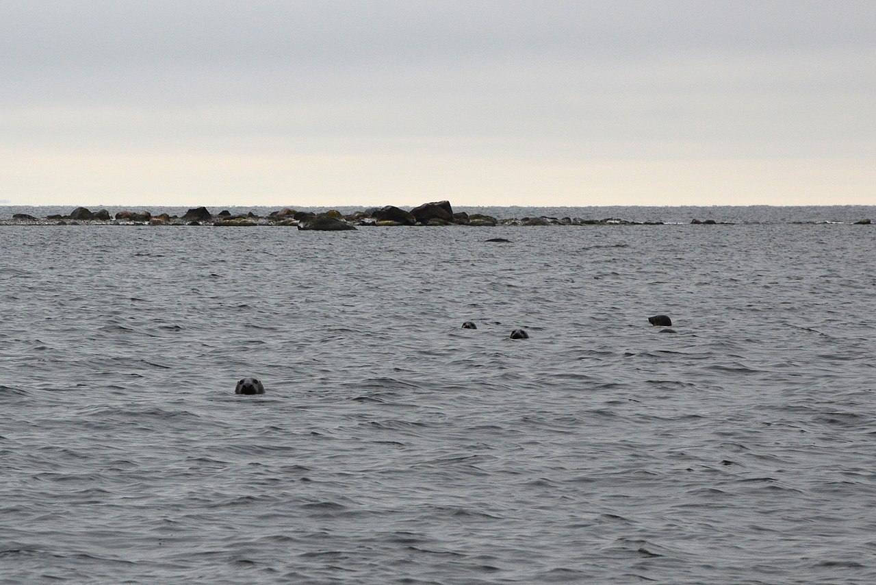
Eesti:
Hallhülged Malusi saarte juures.
English:
Halichoerus grypus
next to Malusi islands, Estonia.
|
| Date | |
| Source | Own work |
| Author | Ivo Kruusamägi |
| Camera location |
|
View this and other nearby images on: OpenStreetMap |
|
|---|
|
|
This photo was taken during a Wikiexpedition set up by
Wikimedia Eesti
.
You can see all photographs in category WMEE-Põhjarannik2015 .
|
Licensing
I, the copyright holder of this work, hereby publish it under the following license:
This file is licensed under the
Creative Commons
Attribution-Share Alike 4.0 International
license.
-
You are free:
- to share – to copy, distribute and transmit the work
- to remix – to adapt the work
-
Under the following conditions:
- attribution – You must give appropriate credit, provide a link to the license, and indicate if changes were made. You may do so in any reasonable manner, but not in any way that suggests the licensor endorses you or your use.
- share alike – If you remix, transform, or build upon the material, you must distribute your contributions under the same or compatible license as the original.