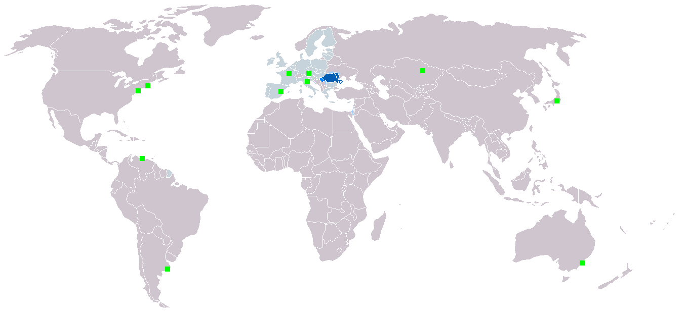
Map_Roumanophone_World.png
Size of this preview:
800 × 370 pixels
.
Other resolutions:
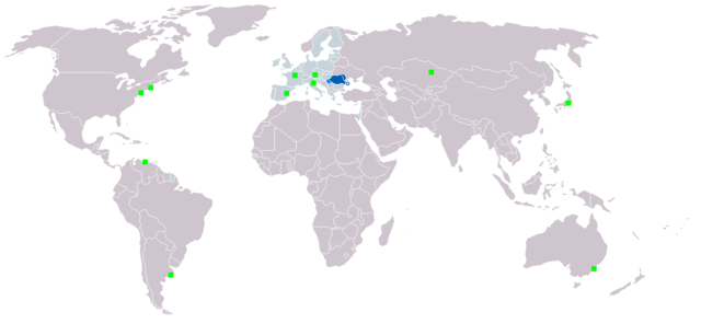
320 × 148 pixels
|
640 × 296 pixels
|
1,357 × 628 pixels
.

|
This
map
image could be re-created
using
vector graphics
as an
SVG
file
. This has several advantages; see
Commons:Media for cleanup
for more information. If an SVG form of this image is available, please upload it and afterwards replace this template with
{{

vector version available

|

new image name

}}
.
It is recommended to name the SVG file “Map Roumanophone World.svg”—then the template Vector version available (or Vva ) does not need the new image name parameter. |
Summary
| Description |
English:
Map of the
Roumanophone
World (Romanian is an official and working language of the EU).
Legend:
Italiano:
La mappa mostra la distribuzione geografica della
lingua rumena
.
Legenda:
Polski:
Legenda:
Română:
Legendă:
|
| Date | Originally uploaded in 2006 |
| Source | Own work |
| Author | Originally uploaded by User:Danutz |
Licensing
I, the copyright holder of this work, hereby publish it under the following license:

|
Permission is granted to copy, distribute and/or modify this document under the terms of the GNU Free Documentation License , Version 1.2 or any later version published by the Free Software Foundation ; with no Invariant Sections, no Front-Cover Texts, and no Back-Cover Texts. A copy of the license is included in the section entitled GNU Free Documentation License . |
|
|
This file is licensed under the Creative Commons Attribution-Share Alike 3.0 Unported license. | |
|
||
| This licensing tag was added to this file as part of the GFDL licensing update . |