Map_of_Cyrenaica.png

Size of this preview:
800 × 543 pixels
.
Other resolutions:
320 × 217 pixels
|
640 × 434 pixels
|
918 × 623 pixels
.
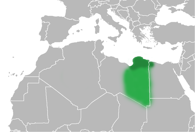
| Description | The Ottoman Turks conquered the country in the mid-16th century, and the three States or " Wilayat " of Tripolitania , Cyrenaica and Fezzan (which make up Libya) remained part of their empire with the exception of the virtual autonomy of the Karamanlis . The Karamanlis ruled from 1711 until 1835 mainly in Tripolitania, but had influence in Cyrenaica and Fezzan as well by the mid 18th century. |
| Date | (UTC) |
| Source | |
| Author |
|
| Other versions | File:Map of Cyrenaica.svg |
.png)
|
|
This is a
retouched picture
, which means that it has been digitally altered from its original version. Modifications:
changes of area Cyrenaica
. The original can be viewed here:
Ottoman Provinces Of Present day Libyapng.png
:
|
|
|
I, the copyright holder of this work, release this work into the
public domain
. This applies worldwide.
In some countries this may not be legally possible; if so: I grant anyone the right to use this work for any purpose , without any conditions, unless such conditions are required by law. |
Original upload log
This image is a derivative work of the following images:
-
File:United_States_of_North_Africa_Locator.png
licensed with PD-self
- 2010-03-26T13:53:08Z Roxanna 1160x1056 (29795 Bytes) {{Information |Description={{en|1="United States of North Africa" (proposal by President [[en:Habib Bourguiba]] for Tunisia, Algeria and Libya 1973) and "Arab Islamic Republic" (proposal by [[en:Muammar al-Gaddafi]] for a uni
- File:Ottoman_Provinces_Of_Present_day_Libyapng.png licensed with PD-self
Uploaded with derivativeFX