Map_of_Ireland's_capitals.png

Size of this preview:
470 × 599 pixels
.
Other resolutions:
188 × 240 pixels
|
376 × 480 pixels
|
602 × 768 pixels
|
803 × 1,024 pixels
|
1,630 × 2,078 pixels
.
Summary

|
This
map
image could be re-created
using
vector graphics
as an
SVG
file
. This has several advantages; see
Commons:Media for cleanup
for more information. If an SVG form of this image is available, please upload it and afterwards replace this template with
{{

vector version available

|

new image name

}}
.
It is recommended to name the SVG file “Map of Ireland's capitals.svg”—then the template Vector version available (or Vva ) does not need the new image name parameter. |
| Description |
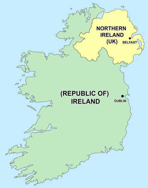
English:
Political capitals of the countries Ireland and Northern Ireland
Bahasa Indonesia:
Ibu kota dari negara Irlandia Utara (Belfast) dan Republik Irlandia (Dublin)
|
| Date | 26 December 2006 (original upload date) |
| Source | Transferred from en.wikipedia to Commons by Kajasudhakarababu using CommonsHelper . |
| Author | The original uploader was Jonto at English Wikipedia . |
Licensing
|
|
This file is licensed under the Creative Commons Attribution-Share Alike 3.0 Unported license. Subject to disclaimers . | |
|
||
| This licensing tag was added to this file as part of the GFDL licensing update . |

|
Permission is granted to copy, distribute and/or modify this document under the terms of the GNU Free Documentation License , Version 1.2 or any later version published by the Free Software Foundation ; with no Invariant Sections, no Front-Cover Texts, and no Back-Cover Texts. A copy of the license is included in the section entitled GNU Free Documentation License . Subject to disclaimers . |
Original upload log
- delete all current 21:50, 26 December 2006 Thumbnail for version as of 21:50, 26 December 2006 415×541 (13 KB) Jonto (Talk | contribs | block) (Updated as per talk.)
- delete revert 13:42, 11 October 2006 Thumbnail for version as of 13:42, 11 October 2006 415×541 (11 KB) Evertype (Talk | contribs | block) (I re-coloured the existing map and replaced the text on the island.)
- delete revert 04:08, 11 January 2006 Thumbnail for version as of 04:08, 11 January 2006 415×541 (5 KB) Zscout370 (Talk | contribs | block) (Compression)
- delete revert 07:31, 31 May 2005 Thumbnail for version as of 07:31, 31 May 2005 415×541 (14 KB) WikiDon (Talk | contribs | block)
en:Category:Maps of Northern Ireland