Map_of_Ontario_BRANT.svg

Size of this PNG preview of this SVG file:
340 × 330 pixels
.
Other resolutions:
247 × 240 pixels
|
495 × 480 pixels
|
791 × 768 pixels
|
1,055 × 1,024 pixels
|
2,110 × 2,048 pixels
.
Summary
This
W3C-unspecified
vector image
was created with
Inkscape
.
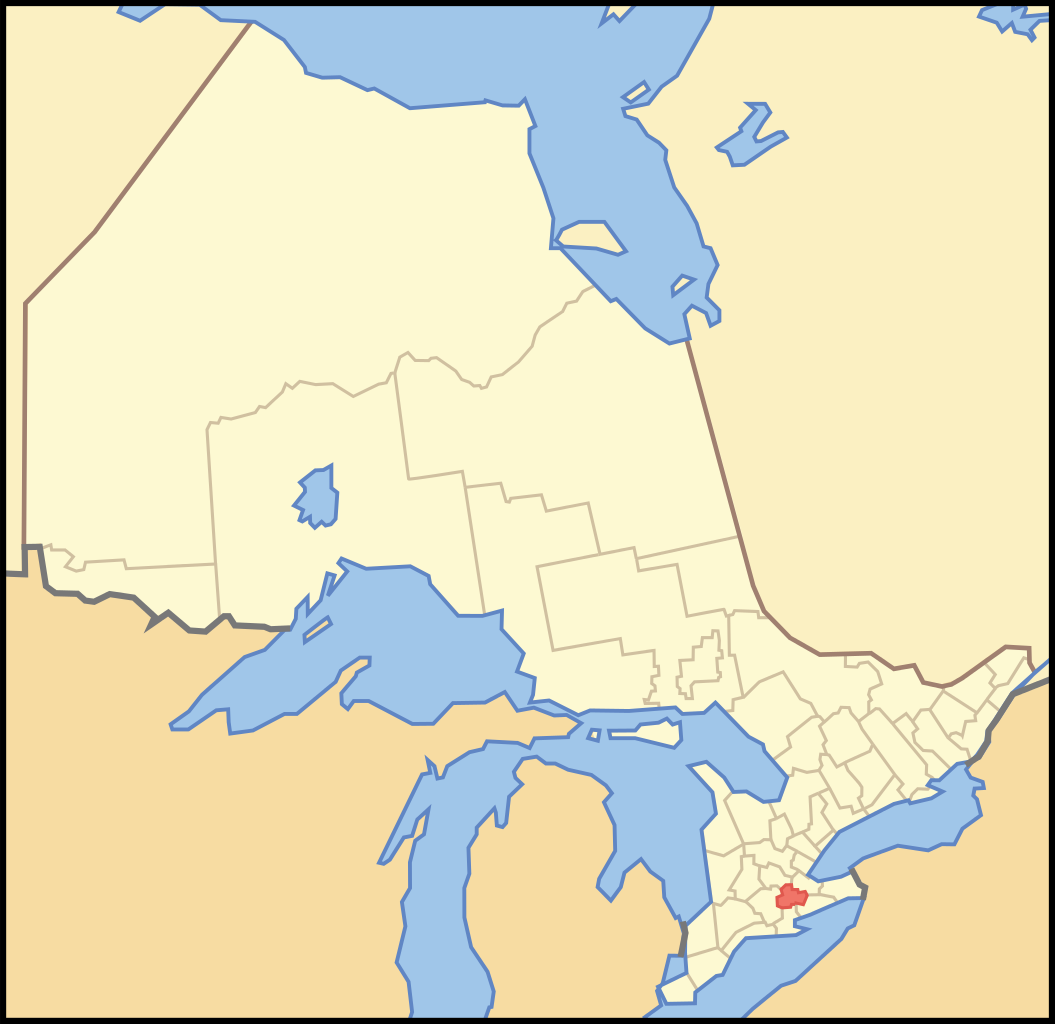
| Description | A map of Ontario highlighting the Single Tier Municipality of Brant |
| Date | |
| Source | Crop and trace of Image:Canada (geolocalisation).svg ; trace of Image:Ontario subdivisions.PNG . |
| Author | Vidioman |
| Other versions | en:Image:Image:Ontbrt.PNG |
.svg)
Licensing
|
|
I, the copyright holder of this work, release this work into the
public domain
. This applies worldwide.
In some countries this may not be legally possible; if so: I grant anyone the right to use this work for any purpose , without any conditions, unless such conditions are required by law. |