Map_of_Russia_-_Urals_Federal_District.svg

Size of this PNG preview of this SVG file:
800 × 462 pixels
.
Other resolutions:
320 × 185 pixels
|
640 × 369 pixels
|
1,024 × 591 pixels
|
1,280 × 738 pixels
|
2,560 × 1,477 pixels
|
1,092 × 630 pixels
.

|
The boundaries on this map show the de facto situation. This is just one of several different views on the subject (see COM:NPOV ). |
| Description |
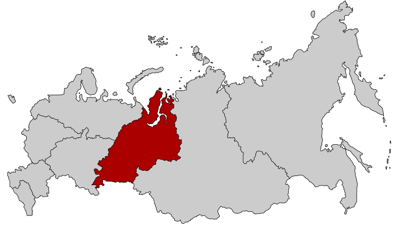
English:
Map Russia highlighting the Urals
Federal districts
.
Español:
Ubicación del Distrito Federal de los Urales en la Federación Rusa
Русский:
Уральский федеральный округ
|
| Date | |
| Source | Based on Map of Russian subjects, 2008-03-01.svg by Lokal_Profil |
| Author | Lokal_Profil |
|
Permission
( Reusing this file ) |
This file is licensed under the
Creative Commons
Attribution-Share Alike 2.5 Generic
license.
|