Map_of_the_Greater_Korean_Empire.svg

Size of this PNG preview of this SVG file:
384 × 600 pixels
.
Other resolutions:
153 × 240 pixels
|
307 × 480 pixels
|
491 × 768 pixels
|
655 × 1,024 pixels
|
1,311 × 2,048 pixels
|
512 × 800 pixels
.
Summary
| Description |
English:
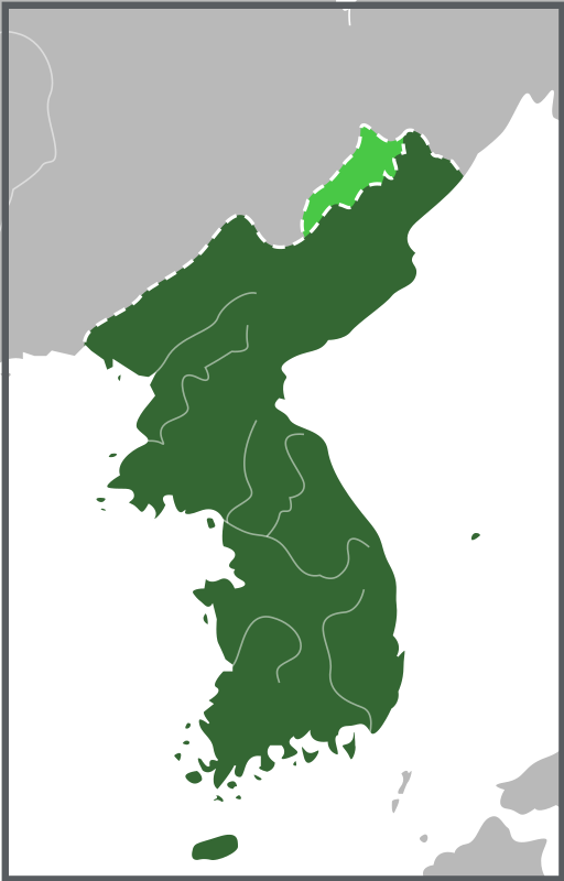
Map of the Greater Korean Empire
조선말:
대한제국의 지도
|
| Date | |
| Source | Own work , source: 대한신지지부도(大韓新地志附地圖, 1907) / 한겨레, '대한제국이 간도를 '전략적'으로 외면한 까닭은?' 2007 , 창원대신문, '수백 년간의 논란, 종지부 찍을 것인가 - 간도 문제 드디어 국제사법재판소에 기소' 2009 |
| Author | Samhanin |
Licensing
I, the copyright holder of this work, hereby publish it under the following license:
This file is licensed under the
Creative Commons
Attribution-Share Alike 3.0 Unported
license.
-
You are free:
- to share – to copy, distribute and transmit the work
- to remix – to adapt the work
-
Under the following conditions:
- attribution – You must give appropriate credit, provide a link to the license, and indicate if changes were made. You may do so in any reasonable manner, but not in any way that suggests the licensor endorses you or your use.
- share alike – If you remix, transform, or build upon the material, you must distribute your contributions under the same or compatible license as the original.