Map_of_the_Viceroyalty_of_Peru.svg

Size of this PNG preview of this SVG file:
800 × 407 pixels
.
Other resolutions:
320 × 163 pixels
|
640 × 325 pixels
|
1,024 × 520 pixels
|
1,280 × 650 pixels
|
2,560 × 1,301 pixels
|
3,121 × 1,586 pixels
.
Summary
| Description |
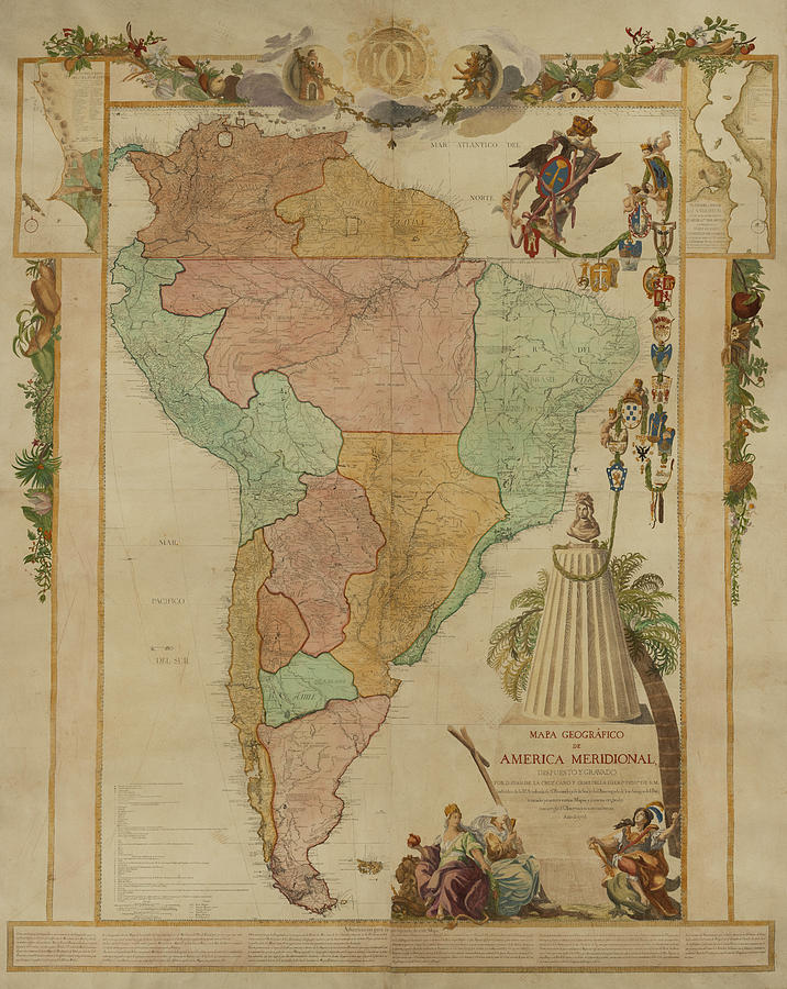
Español:
Mapa de ubicación del
Virreinato del Perú
(territorio inicial (1542) y final (1810)
de iure
)
English:
Locator map of the
Viceroyalty of Peru
(initial (1542) and final (1810)
de jure
territory).
|
| Date | (UTC) |
| Source |
|
| Author | Shadowxfox |
.jpg)
Licensing
This file is licensed under the
Creative Commons
Attribution-Share Alike 3.0 Unported
license.
-
You are free:
- to share – to copy, distribute and transmit the work
- to remix – to adapt the work
-
Under the following conditions:
- attribution – You must give appropriate credit, provide a link to the license, and indicate if changes were made. You may do so in any reasonable manner, but not in any way that suggests the licensor endorses you or your use.
- share alike – If you remix, transform, or build upon the material, you must distribute your contributions under the same or compatible license as the original.