Map_of_the_full_sun.jpg
Size of this preview:
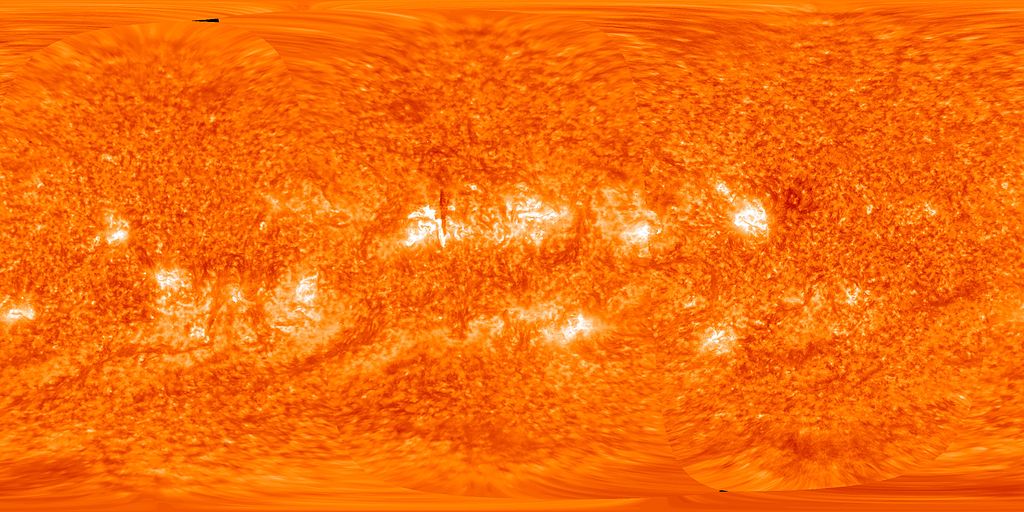
800 × 400 pixels
.
Other resolutions:
320 × 160 pixels
|
640 × 320 pixels
|
1,024 × 512 pixels
|
1,280 × 640 pixels
|
3,000 × 1,500 pixels
.
Summary
| Description |
English:
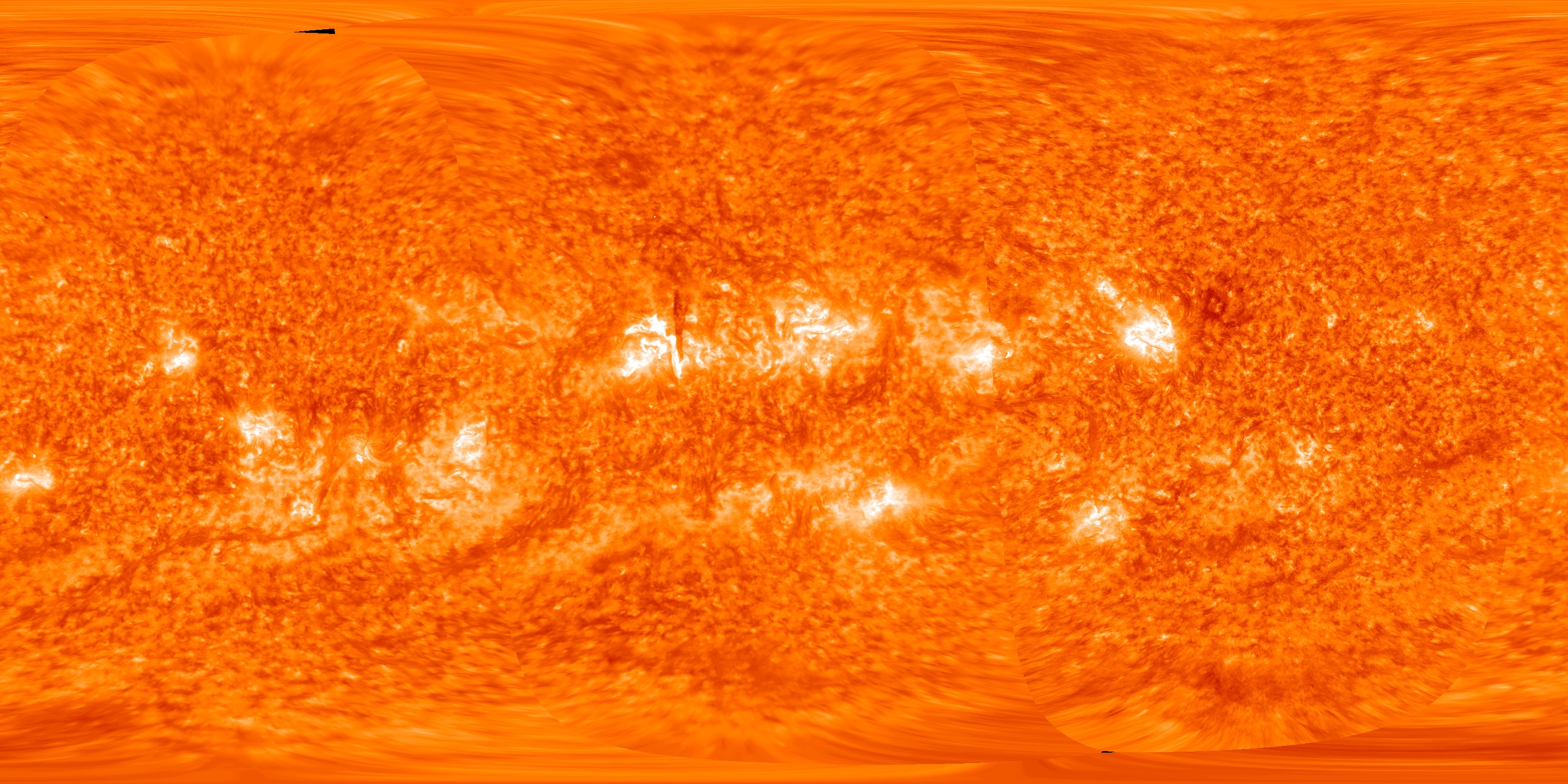
This map of the full sun on 14 October 2012 was created by spacecraft images from, in order from left to right,
STEREO-A
,
STEREO-B
and the
Solar Dynamics Observatory
The dark vertical line near the centre of the picture is an overhead view of a solar prominence (see File:STEREO view of solar prominence on 2012-10-14.jpg for explanation). |
| Date | |
| Source | STEREO Reaches New Milestone At Its Sixth Anniversary |
| Author | NASA/STEREO/SDO/GSFC |
Licensing
|
|
This file is in the public domain in the United States because it was solely created by NASA . NASA copyright policy states that "NASA material is not protected by copyright unless noted ". (See Template:PD-USGov , NASA copyright policy page or JPL Image Use Policy .) |
|

|
Warnings:
|