Mikulčice_Archaeopark_05.JPG

Size of this preview:
800 × 553 pixels
.
Other resolutions:
320 × 221 pixels
|
640 × 442 pixels
|
1,024 × 708 pixels
|
1,450 × 1,002 pixels
.
Summary
| Description |
English:
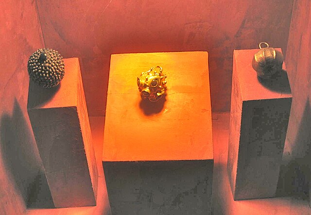
Mikulčice. Gilded objects from burials
|
| Date | |
| Source | Own work |
| Author | Tyssil |
| Camera location |
|
View this and other nearby images on: OpenStreetMap |
|
|---|
‘’Mikulčice Archaeopark and Museum’’ is a major settlement site of the the Greater Moravian Empire . It is situated adjacent to the Morava river on the border between the Czech Republic and Slovakia . The site was discovered in in 1953 and since then excavations have been carried out which have revealed the foundations of 12 churches of the 9th century A D and evidence for many other buildings. Currently the site is under consideration as a of UNECO Cultural Heritage site. [1]
Licensing
I, the copyright holder of this work, hereby publish it under the following license:
This file is licensed under the
Creative Commons
Attribution-Share Alike 4.0 International
license.
-
You are free:
- to share – to copy, distribute and transmit the work
- to remix – to adapt the work
-
Under the following conditions:
- attribution – You must give appropriate credit, provide a link to the license, and indicate if changes were made. You may do so in any reasonable manner, but not in any way that suggests the licensor endorses you or your use.
- share alike – If you remix, transform, or build upon the material, you must distribute your contributions under the same or compatible license as the original.