Muddy_Water_Red_desert.jpg
Size of this preview:
800 × 600 pixels
.
Other resolutions:
320 × 240 pixels
|
640 × 480 pixels
|
1,024 × 768 pixels
|
1,280 × 960 pixels
|
2,560 × 1,920 pixels
.
Summary
| Description |
English:
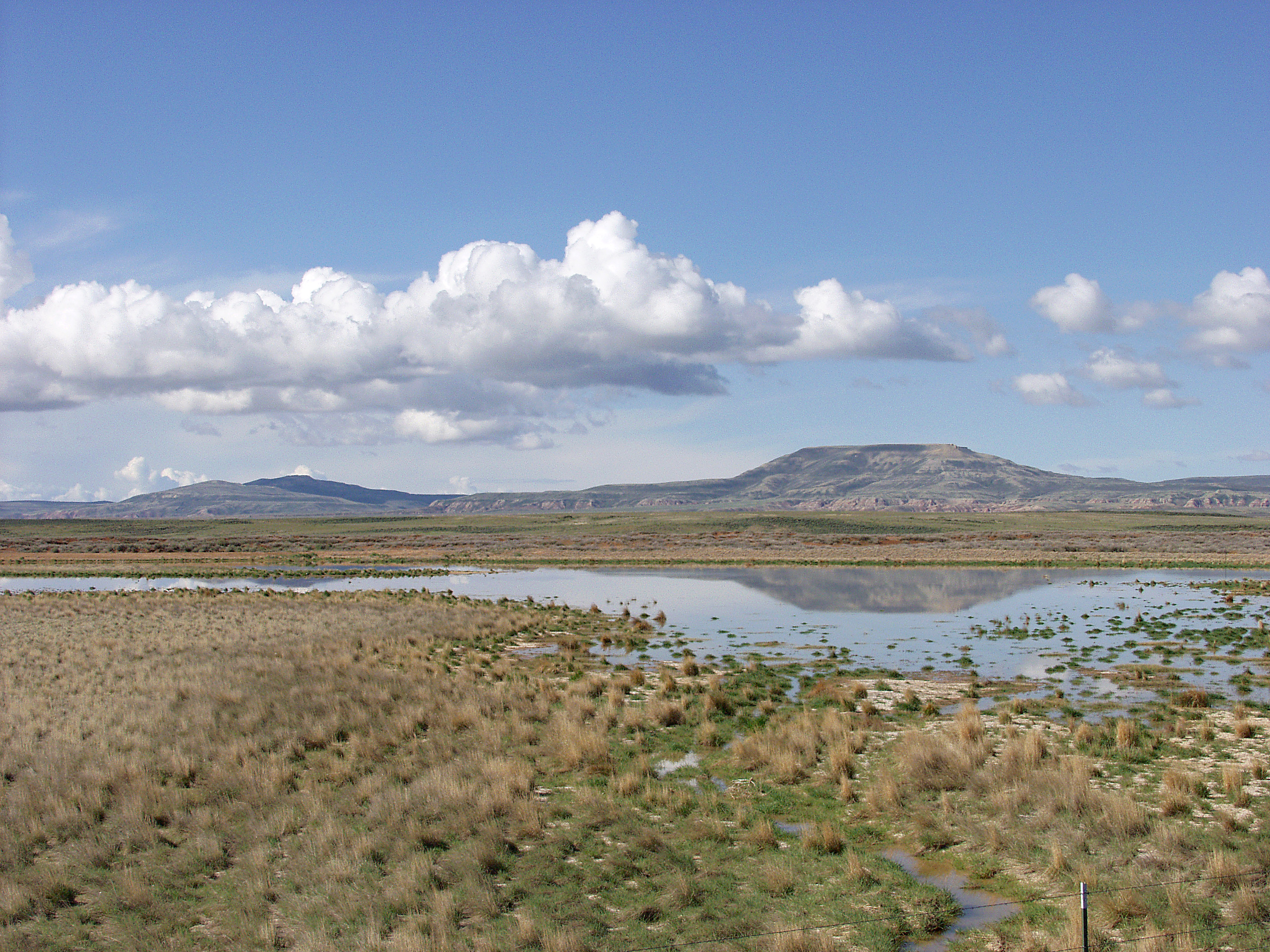
Melting snowpack is the primary source for surface water in Wyoming, such as this emphemeral wetland in the Muddy Creek Watershed of the
Red Desert
. This stretch of
rangeland
is typical of the vast expanses of publicly owned rangeland that aerial remote sensing is particularly well-adapted to.
|
| Date | Unknown date |
| Source | http://www.ars.usda.gov/is/graphics/photos/feb06/d423-1.htm |
| Author | US Department of Agriculture. Sam Cox |
|
Permission
( Reusing this file ) |
US Federal Government work |
Licensing
|
|
This image is in the
public domain
because it contains materials that originally came from the
Agricultural Research Service
, the research agency of the
United States Department of Agriculture
.
|
|