Myrskyla_municipality_in_Finland.JPG
Size of this preview:
800 × 534 pixels
.
Other resolutions:
320 × 213 pixels
|
640 × 427 pixels
|
1,024 × 683 pixels
.
Summary
| Description |
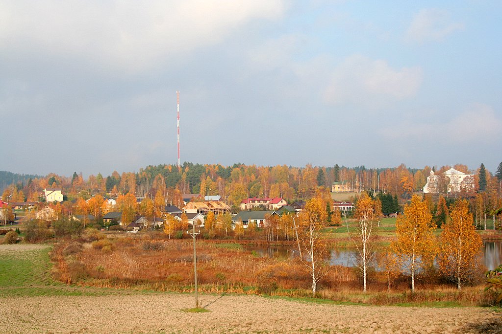
The municipality of Myrskyla (Myrskylä in Finnish and Mörskom in Swedish) Founded: 1636 Geographical position : N 60°39.482' E 025°51.375' (nearby) The southern part of the main village protographed N 60°39.908' E 025°50.769' Photograph: Canon EOS 350D , Canon Zoom Lens EF-S 18-55 mm 1:3.5-5.6 II Olli-Jukka Paloneva, [email protected] (Attribution recommendable) References: The municipality of Myrskyla http://www.myrskyla.fi |
| Date | 12 October 2005 (according to Exif data) |
| Source | No machine-readable source provided. Own work assumed (based on copyright claims). |
| Author | No machine-readable author provided. Ojp assumed (based on copyright claims). |
Licensing
|
|
I, the copyright holder of this work, release this work into the
public domain
. This applies worldwide.
In some countries this may not be legally possible; if so: I grant anyone the right to use this work for any purpose , without any conditions, unless such conditions are required by law. |