NYC_wideangle_south_from_Top_of_the_Rock.jpg
Size of this preview:
800 × 562 pixels
.
Other resolutions:
320 × 225 pixels
|
640 × 449 pixels
|
1,024 × 719 pixels
|
1,280 × 899 pixels
|
2,560 × 1,798 pixels
|
3,328 × 2,337 pixels
.
Summary
| Camera location |
|
View this and other nearby images on: OpenStreetMap |
|
|---|
| Description |
English:
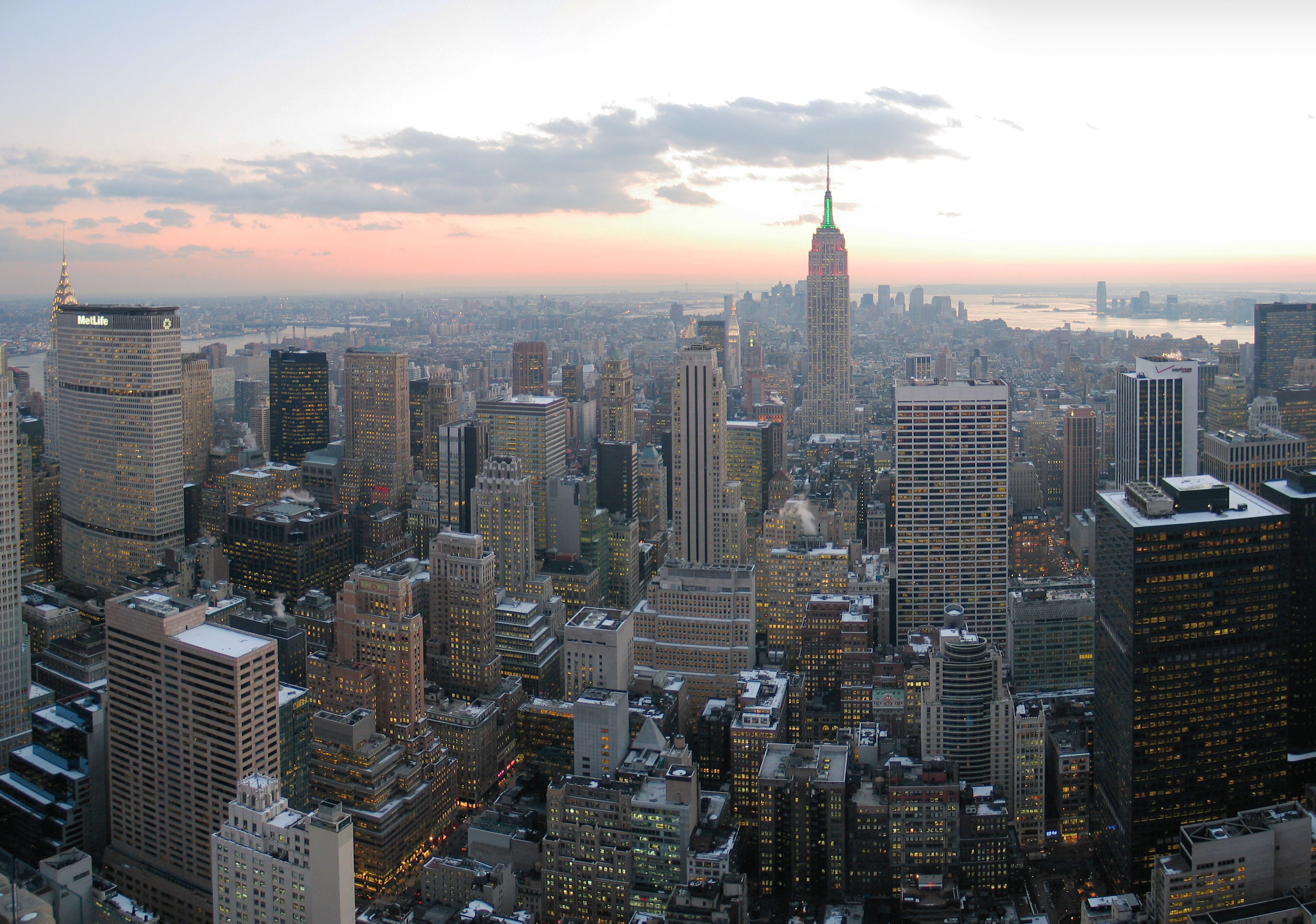
Looking south from Top of the Rock, New York City
This image was created with
Hugin
.
|
| Date | |
| Source | Own work |
| Author | Daniel Schwen |
| Other versions |
|
|
This image has been assessed using the
Quality image guidelines
and is considered a
Quality image
.
|
Licensing
I, the copyright holder of this work, hereby publish it under the following license:
This file is licensed under the
Creative Commons
Attribution-Share Alike 2.5 Generic
license.
-
You are free:
- to share – to copy, distribute and transmit the work
- to remix – to adapt the work
-
Under the following conditions:
- attribution – You must give appropriate credit, provide a link to the license, and indicate if changes were made. You may do so in any reasonable manner, but not in any way that suggests the licensor endorses you or your use.
- share alike – If you remix, transform, or build upon the material, you must distribute your contributions under the same or compatible license as the original.