NZ-SI_plain_map.png

Size of this preview:
530 × 599 pixels
.
Other resolutions:
212 × 240 pixels
|
425 × 480 pixels
|
679 × 768 pixels
|
1,234 × 1,395 pixels
.
Summary
Transwiki approved by: w:en:User:Multichill
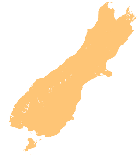
| Description |
English:
template map of New Zealand's South Island
|
| Date | 3 June 2007 (original upload date) |
| Source | Transferred from en.wikipedia to Commons. |
| Author | Original uploader was Grutness at en.wikipedia |
Licensing
|
|
I, the copyright holder of this work, release this work into the
public domain
. This applies worldwide.
In some countries this may not be legally possible; if so: I grant anyone the right to use this work for any purpose , without any conditions, unless such conditions are required by law. |
Original upload log
01:40, 3 June 2007 || w:en:User:Grutness || || 116 KB || whoops - that was the small version. Template map of New Zealand's South Island, created by myself from numerous sources {{PD-self}} 01:21, 3 June 2007 || w:en:User:Grutness || 440×497 || 63 KB || template map of New Zealand's South Island {{pd}}| date/time | username | resolution | size | edit summary |
|---|---|---|---|---|
| 01:45, 3 June 2007 | w:en:User:Grutness | 1,234×1,395 | 44 KB | d'oh. That was a photoshop file. |
Image description page history
| link | date/time | username | edit summary |
|---|---|---|---|
| [1] | 13:40, 14 March 2008 | w:en:User:Multichill | |
| [2] | 01:27, 3 June 2007 | w:en:User:Grutness | |
| [3] | 01:21, 3 June 2007 | w:en:User:Grutness | (template map of New Zealand's South Island {{pd}}) |
![[1]](https://en.wikipedia.org/w/index.php?title=Image:NZ-SI_plain_map.png&redirect=no&oldid=198188155)
![[2]](https://en.wikipedia.org/w/index.php?title=Image:NZ-SI_plain_map.png&redirect=no&oldid=135448378)
![[3]](https://en.wikipedia.org/w/index.php?title=Image:NZ-SI_plain_map.png&redirect=no&oldid=135447357)

|
This
map
image could be re-created
using
vector graphics
as an
SVG
file
. This has several advantages; see
Commons:Media for cleanup
for more information. If an SVG form of this image is available, please upload it and afterwards replace this template with
{{

vector version available

|

new image name

}}
.
It is recommended to name the SVG file “NZ-SI plain map.svg”—then the template Vector version available (or Vva ) does not need the new image name parameter. |