National_World_War_I_Museum_and_Memorial_aerial.jpg

Size of this preview:
800 × 550 pixels
.
Other resolutions:
320 × 220 pixels
|
640 × 440 pixels
|
1,024 × 705 pixels
|
1,280 × 881 pixels
|
2,560 × 1,761 pixels
|
3,488 × 2,400 pixels
.
Summary
| Description |
English:
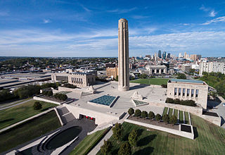
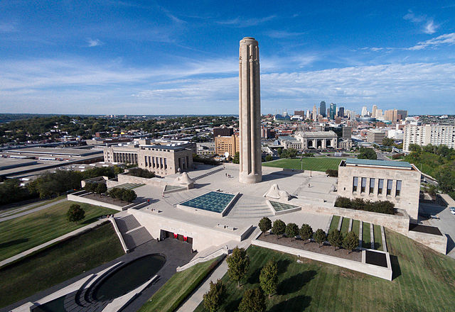
Aerial photo of the National WWI Museum and Memorial with the Kansas City skyline.
|
| Date | |
| Source | National WWI Museum |
| Author | National WWI Museum |
| Camera location |
|
View this and other nearby images on: OpenStreetMap |
|
|---|
Kansas City, Missouri
Licensing
|
|
This file is made available under the Creative Commons CC0 1.0 Universal Public Domain Dedication . |
|
The person who associated a work with this deed has dedicated the work to the
public domain
by waiving all of their rights to the work worldwide under copyright law, including all related and neighboring rights, to the extent allowed by law. You can copy, modify, distribute and perform the work, even for commercial purposes, all without asking permission.
|