Norden_satellite.jpg
Size of this preview:
750 × 600 pixels
.
Other resolutions:
300 × 240 pixels
|
601 × 480 pixels
|
961 × 768 pixels
|
1,280 × 1,023 pixels
|
1,436 × 1,148 pixels
.
Summary
| Description |
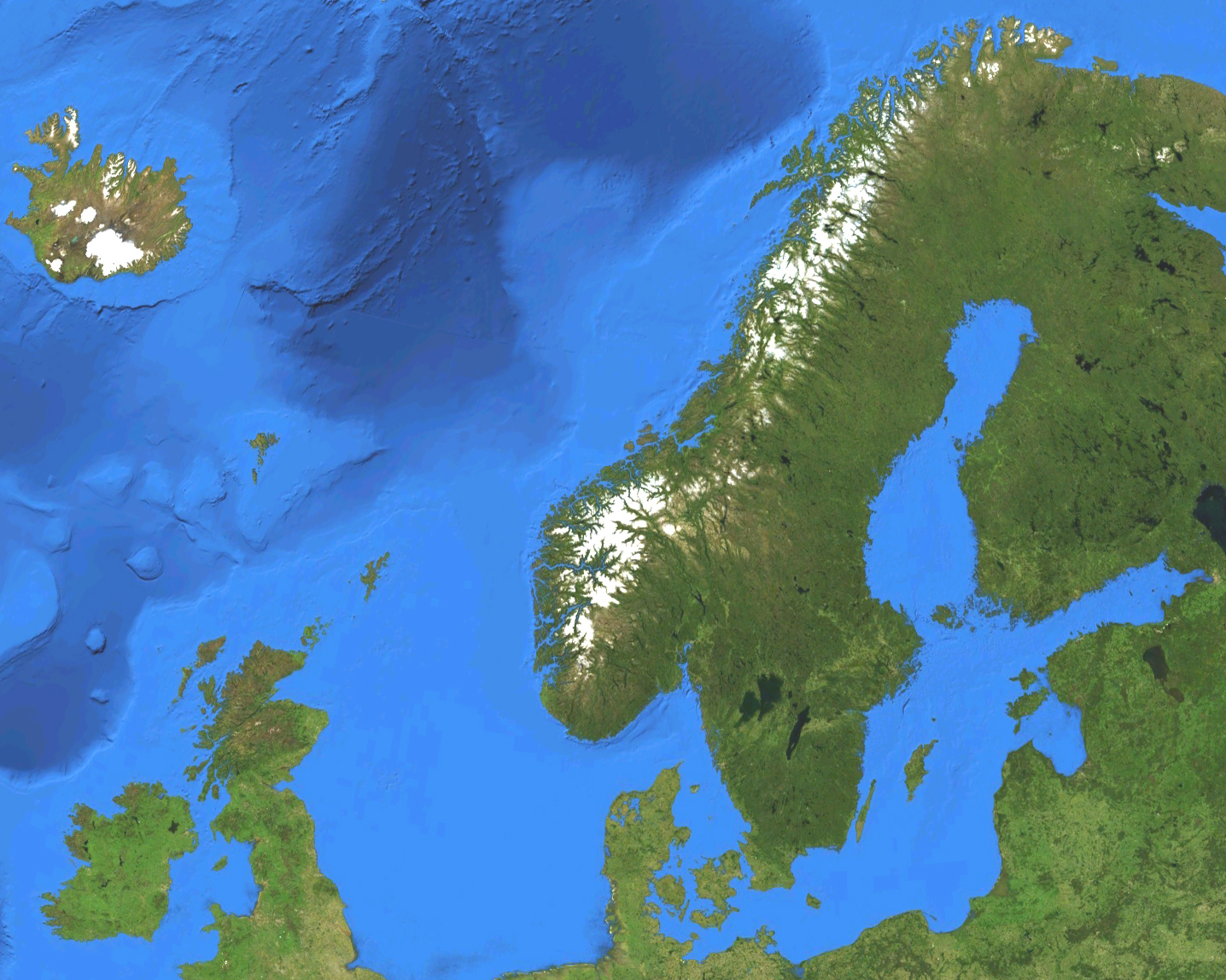
English:
Satellite map of European part of the Nordic countries, except for Jan Mayen and Svalbard. Terrain and ocean topography.
Svenska:
Satellitkarta över den europeiska delen av Norden, förutom Jan Mayen och Svalbard. Terräng och havstopografi.
|
| Date | |
| Source | Own work by uploader, made with NASA World Wind. |
| Author | Koyos |
Licensing
|
|
I, the copyright holder of this work, release this work into the
public domain
. This applies worldwide.
In some countries this may not be legally possible; if so: I grant anyone the right to use this work for any purpose , without any conditions, unless such conditions are required by law. |