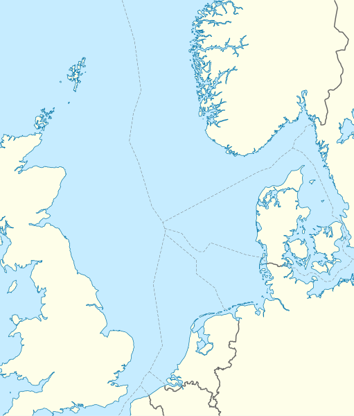
North_Sea_location_map.svg

Size of this PNG preview of this SVG file:
511 × 599 pixels
.
Other resolutions:
205 × 240 pixels
|
409 × 480 pixels
|
655 × 768 pixels
|
873 × 1,024 pixels
|
1,746 × 2,048 pixels
|
988 × 1,159 pixels
.
Summary
| Description |
Deutsch:
Positionskarte der
Nordsee
Quadratische Plattkarte, N-S-Streckung 180 %. Geographische Begrenzung der Karte:
English:
Location map of the
North Sea
Equirectangular projection, N/S stretching 180 %. Geographic limits of the map:
|
|
| Date | ||
| Source | own work, using World Data Base II data | |
| Author | NordNordWest | |
|
Permission
( Reusing this file ) |
This file is licensed under the
Creative Commons
Attribution-Share Alike 3.0 Germany
license.

This file is licensed under the
Creative Commons
Attribution-Share Alike 3.0 Germany
license.
|
|
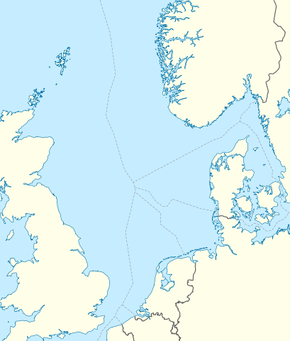
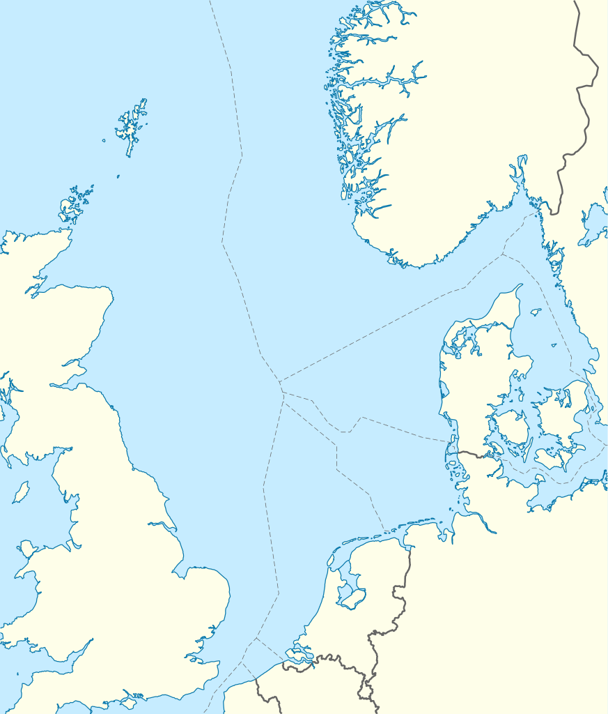
| Other versions |
Derivative works of this file:
|


|
This map has been made or improved in the German
Kartenwerkstatt
(Map Lab)
. You can
propose maps
to improve as well.
|