North_Terrace_in_1938.jpg
Size of this preview:
800 × 550 pixels
.
Other resolutions:
320 × 220 pixels
|
640 × 440 pixels
|
993 × 683 pixels
.
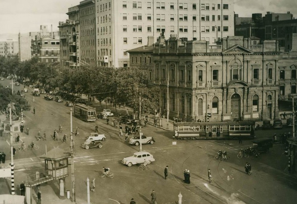
| Description | Intersection of North Terrace and King William Street, Adelaide in 1938. | ||||
| Date | |||||
| Source | Flickr : North Terrace 1938 - State Library of South Australia | ||||
| Author | Not specified in the source | ||||
|
Permission
( Reusing this file ) |
This file is licensed under the
Creative Commons
Attribution 2.0 Generic
license.
|
||||
| Other versions | Larger version (3,174 x 2,347 pixels) at the website of the State Library of South Australia. Item B 10407. |
| Camera location |
|
View this and other nearby images on: OpenStreetMap |
|
|---|