Northumberland_outline_map_with_UK_(2009).png

Size of this preview:
504 × 600 pixels
.
Other resolutions:
202 × 240 pixels
|
600 × 714 pixels
.
Summary
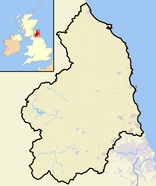
| Description | Map of the county of Northumberland, England, United Kingdom, with post-2009 district boundaries. |
| Date | |
| Source | Own work |
| Author | Jhamez84 |
Licensing
|
|
I, the copyright holder of this work, release this work into the
public domain
. This applies worldwide.
In some countries this may not be legally possible; if so: I grant anyone the right to use this work for any purpose , without any conditions, unless such conditions are required by law. |