OIC_map.png

Size of this preview:
800 × 351 pixels
.
Other resolutions:
320 × 140 pixels
|
640 × 281 pixels
|
1,425 × 625 pixels
.
}}
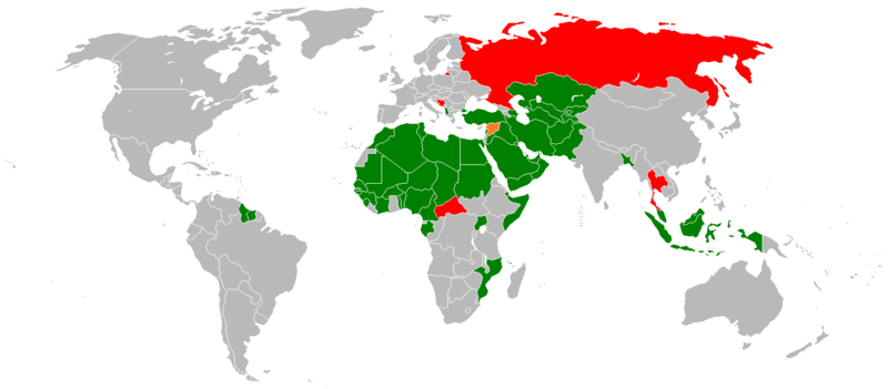
| Description |
English:
Map of nations in Organization of the Islamic Conference
|
|||
| Date | ||||
| Source | I used in source this one , but I made painting myself (wow!) | |||
| Author | Miihkali and Vardion who made that world map | |||
|
Permission
( Reusing this file ) |
|
|||
| Other versions |
|


Colors
| Member | |
| Observer States | |
| Suspended States |