OUH_udsigt_mod_nord_fra_højhuset_-_panoramio.jpg

Size of this preview:
800 × 598 pixels
.
Other resolutions:
320 × 239 pixels
|
640 × 478 pixels
|
1,024 × 765 pixels
|
1,280 × 956 pixels
|
2,592 × 1,936 pixels
.
Summary
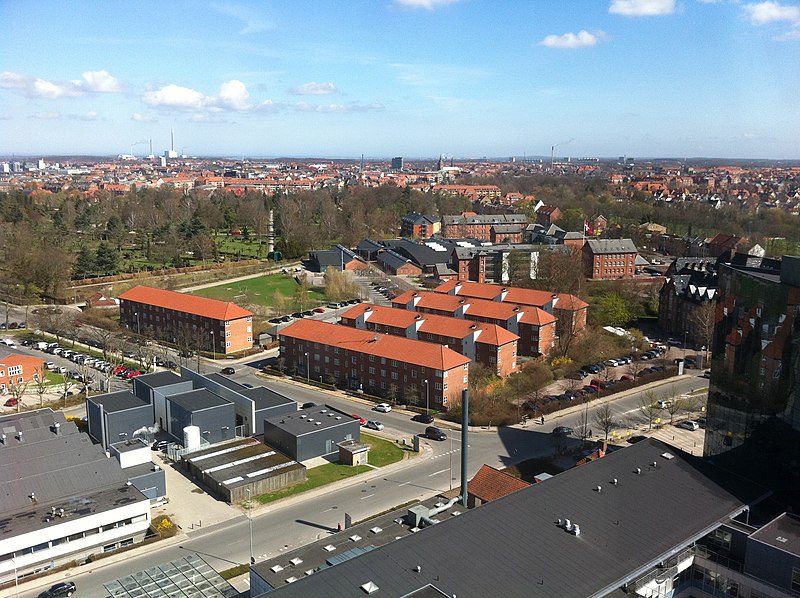
| Description | OUH udsigt mod nord fra højhuset | ||
| Date | 14 April 2011 (original upload date) | ||
| Source | https://web.archive.org/web/20161020181713/http://www.panoramio.com/photo/51045092 | ||
| Author | Ralf Skjerning | ||
|
Permission
( Reusing this file ) |
This file is licensed under the
Creative Commons
Attribution-Share Alike 3.0 Unported
license.
Attribution:
Ralf Skjerning
|
||
|
Tags
(from Panoramio photo page) |
Odense
|
| Camera location |
|
View this and other nearby images on: OpenStreetMap |
|
|---|

|
The categories of this image need checking. You can do so
here
.
|