O_Train_15773300606.jpg
Size of this preview:
800 × 533 pixels
.
Other resolutions:
320 × 213 pixels
|
640 × 427 pixels
|
1,024 × 683 pixels
|
1,280 × 853 pixels
|
2,560 × 1,707 pixels
|
3,190 × 2,127 pixels
.
Summary
| Description |
English:
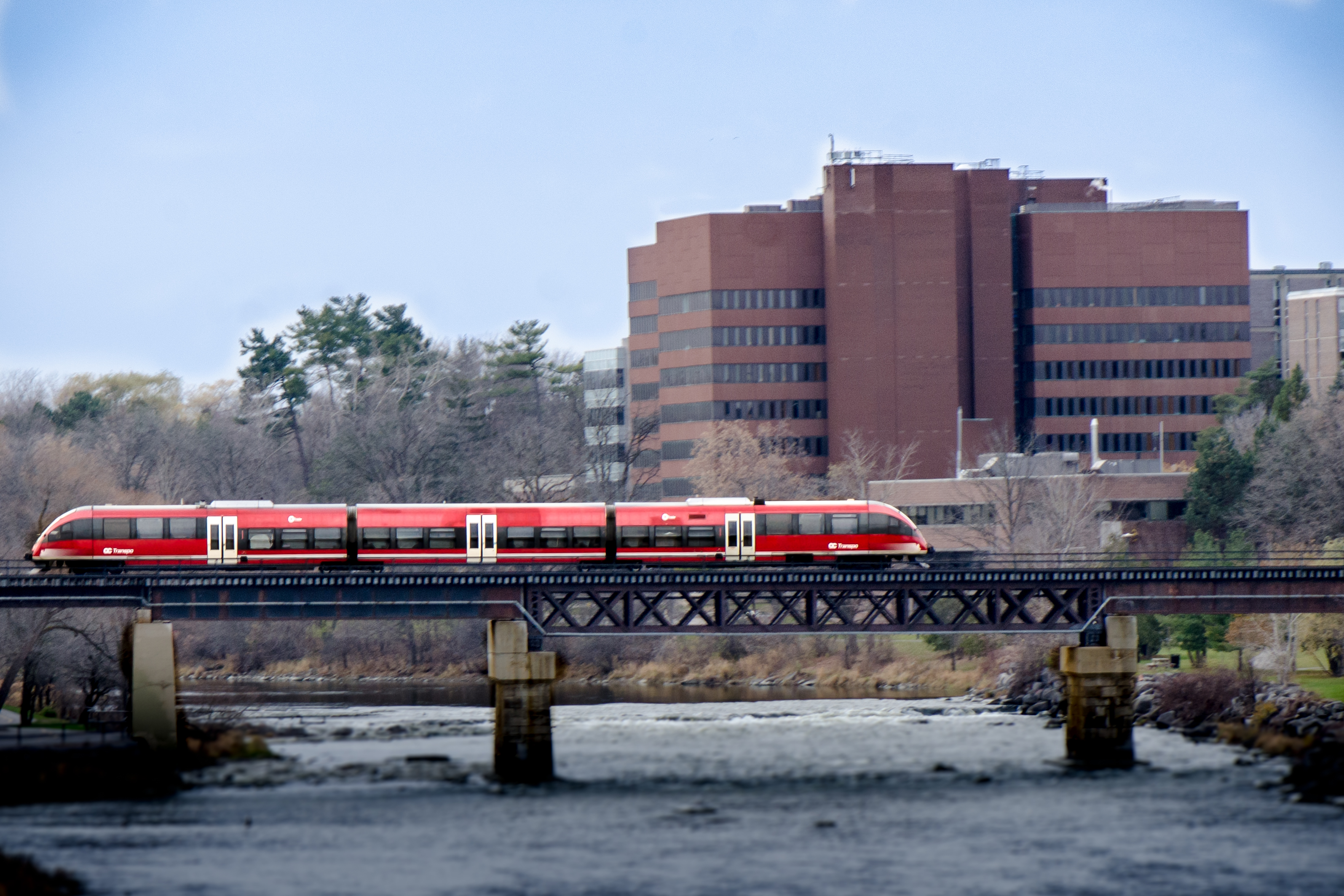
OTrain crossing the Rideau River at Carleton University
|
| Date | |
| Source | https://www.flickr.com/photos/dwmccorm/15773300606 |
| Author | David McCormack |
| Camera location |
|
View this and other nearby images on: OpenStreetMap |
|
|---|
Licensing
|
|
This image was originally posted to Flickr by dwmccorm at https://www.flickr.com/photos/8467310@N08/15773300606 . It was reviewed on 16 November 2014 by FlickreviewR and was confirmed to be licensed under the terms of the cc-by-2.0. |
This file is licensed under the
Creative Commons
Attribution 2.0 Generic
license.
-
You are free:
- to share – to copy, distribute and transmit the work
- to remix – to adapt the work
-
Under the following conditions:
- attribution – You must give appropriate credit, provide a link to the license, and indicate if changes were made. You may do so in any reasonable manner, but not in any way that suggests the licensor endorses you or your use.

|
When this file was uploaded to Wikimedia Commons, it was available from Flickr under the stated license. The Flickr user has since stopped distributing the file under this license. As Creative Commons licenses cannot be revoked in this manner, the file is still free to use under the terms of the license specified. See the Creative Commons FAQ on
revoking licensing
.
|