Oamaruhistoric.jpg
Size of this preview:
800 × 561 pixels
.
Other resolutions:
320 × 224 pixels
|
640 × 449 pixels
|
850 × 596 pixels
.
Summary
| Description |
English:
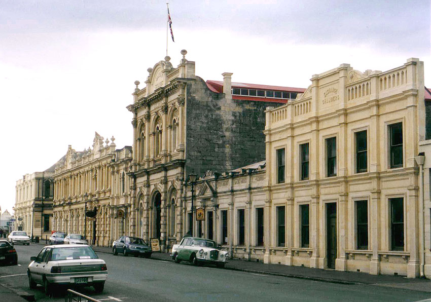
Part of the Historic Precinct, on Tyne Street, Oamaru, New Zealand. All six of these buildings are listed with the New Zealand Historic Places Trust.
|
| Source | own picture/ en.wikipedia.org |
| Author | Grutness |
|
Permission
( Reusing this file ) |
PD self |
| Camera location |
|
View this and other nearby images on: OpenStreetMap |
|
|---|
Original authors
- Source: en.wikipedia.org
- Upload Tool Operator: Flominator ( Flominator )
-
Image contributor(s):
Grutness
- 10:29, 26 July 2005 Grutness 850×596 (130,215 bytes) (Part of Oamaru (New Zealand)'s Historic Precinct {{pd} })
Licensing
|
|
This work has been released into the
public domain
by its author,
Grutness
, at the
English Wikipedia
project
. This applies worldwide.
In case this is not legally possible:
|
| Annotations | This image is annotated: View the annotations at Commons |