Oasis_of_the_Seas.jpg
Size of this preview:
800 × 600 pixels
.
Other resolutions:
320 × 240 pixels
|
640 × 480 pixels
|
1,024 × 768 pixels
|
1,280 × 960 pixels
|
1,600 × 1,200 pixels
.
Summary
| Description |
العربية:
كروز - السفينة من فئة الواحة، بنيت في أوروبا لصالح شركة في كوريا الجنوبية.
Български:
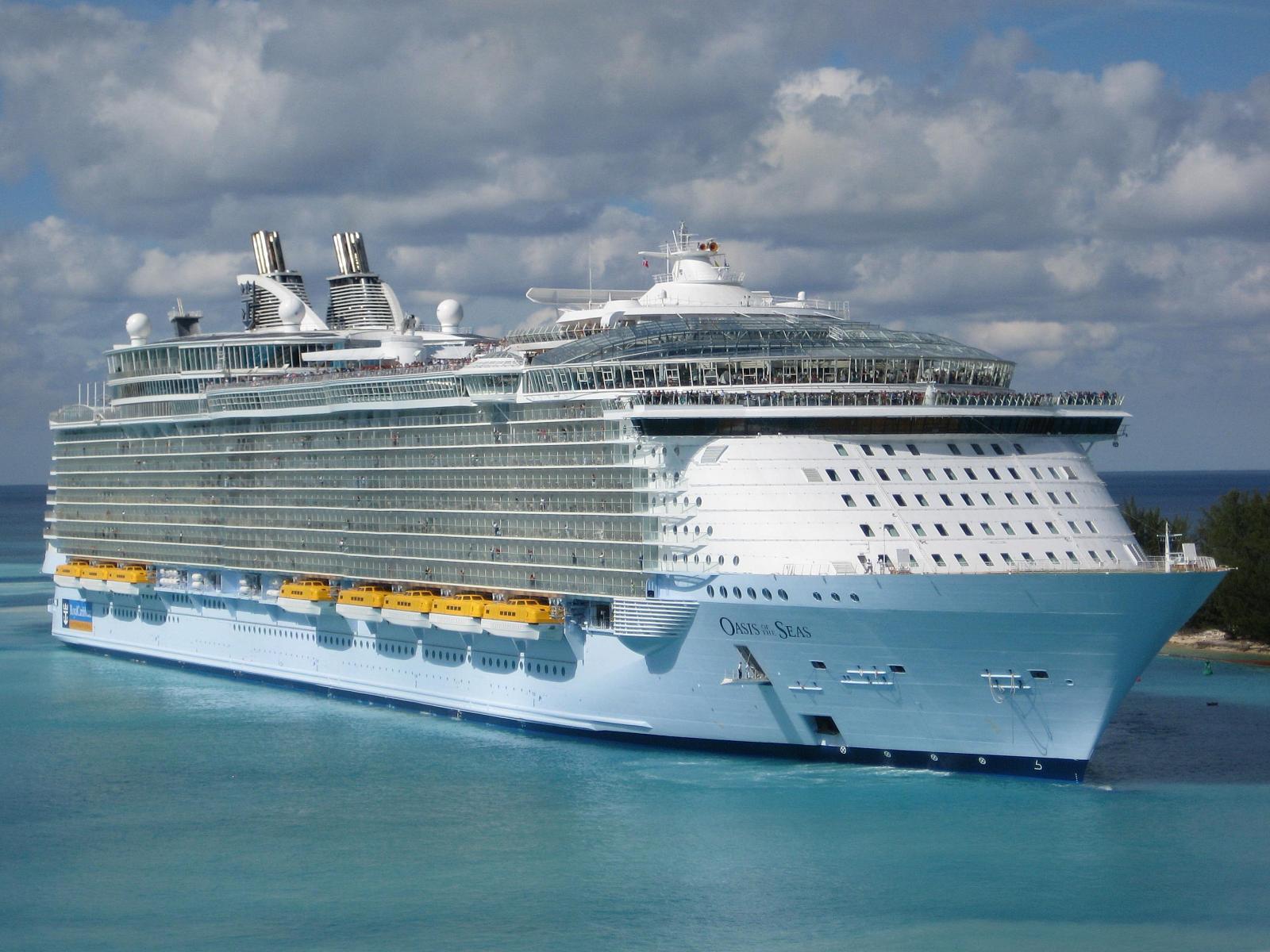
„Oasis of the Seas“ край бреговете на Насау, Бахамските острови, Януари 2010 г.
کوردی:
وێنەی کەشتییەکە.
Deutsch:
Oasis of the Seas.
日本語:
世界最大の客船「オアシス・オブ・ザ・シーズ」.
ქართული:
Oasis of the Seas 2010 წლის იანვარში.
한국어:
오아시스 오브 더 씨즈.oasis of the seas.
Nederlands:
Oasis of the Seas. De Oasis of the Seas in Nassau.
Română:
Nava în Nassau, Bahamas, în ianuarie 2010;.
Slovenščina:
Oasis of the Seas. Oasis of the Seas - največja potniška križarka na svetu, zgrajena v finski ladjedelnici Turku.
Svenska:
Kryssningsfartyget M/S Oasis of the Seas är världens näst största kryssningsfartyg efter systerfartyget M/S Allure of the Seas.
ไทย:
เรือโอเอซิสออฟเดอะซีส์. เอ็มเอส โอเอซิสออฟเดอะซีส์ ขณะเทียบท่าที่เมืองนัสซอ ประเทศบาฮามัส.
Українська:
Круїзний лайнер Oasis of the Seas.
|
| Date | |
| Source | Own work |
| Author | Baldwin040 |
| Other versions |
.jpg)
| Camera location |
|
View this and other nearby images on: OpenStreetMap |
|
|---|
Licensing
I, the copyright holder of this work, hereby publish it under the following licenses:
This file is licensed under the
Creative Commons
Attribution-Share Alike 3.0 Unported
license.
-
You are free:
- to share – to copy, distribute and transmit the work
- to remix – to adapt the work
-
Under the following conditions:
- attribution – You must give appropriate credit, provide a link to the license, and indicate if changes were made. You may do so in any reasonable manner, but not in any way that suggests the licensor endorses you or your use.
- share alike – If you remix, transform, or build upon the material, you must distribute your contributions under the same or compatible license as the original.

|
Permission is granted to copy, distribute and/or modify this document under the terms of the GNU Free Documentation License , Version 1.2 or any later version published by the Free Software Foundation ; with no Invariant Sections, no Front-Cover Texts, and no Back-Cover Texts. A copy of the license is included in the section entitled GNU Free Documentation License . |
You may select the license of your choice.